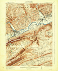
1923 Map of Lock Haven
USGS Topo · Published 1932About this map
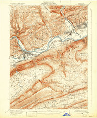
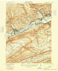
Lock Haven serves as the industrial and academic anchor of this early 1920s landscape, positioned at the strategic confluence of Bald Eagle Creek and the West Branch Susquehanna River. The presence of the State Normal School and a dense network of competing rail lines, including the Pennsylvania and the New York Central, underscores the region's importance as a transportation and educational hub during the pre-war era. To the north, the village of Woolrich and the smaller settlements of Avis and Jersey Shore line the river valley, while the southern reaches are dominated by the formidable ridges of Bald Eagle Mountain and Sugar Valley Mtn. In the isolated Sugar Valley, agrarian communities like Loganton and Greenburr are connected by small schools and landmarks such as Logan Mills, reflecting a traditional rural character distinct from the riverfront industries.
Find a feature on this map
106 named features on this map. Tap any name to fly to it.
Don’t see what you’re looking for? This feature index may not catch every label — zoom into the map to look around manually.
Map Details
Editions of this 1923 Lock Haven Map
7 editions found
Other maps of this area

1921 · Howard
USGS Topo · 1:48,000

1921 · Williamsport
USGS Topo · 1:48,000

1921 · Trout Run
USGS Topo · 1:62,500

1921 · Lock Haven
USGS Topo · 1:62,500

1923 · Howard
USGS Topo · 1:62,500

1923 · Lock Haven
USGS Topo · 1:62,500

1923 · Trout Run
USGS Topo · 1:62,500

1923 · Williamsport
USGS Topo · 1:62,500

1924 · Centre Hall
USGS Topo · 1:62,500

1929 · Centre Hall
USGS Topo · 1:62,500