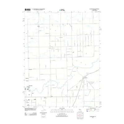
2012 Map of Lockeford
USGS Topo · Published 2012About this map
The Mokelumne River winds through this agricultural landscape east of Lodi, anchoring a region defined by family-run dairy operations and early aviation. The mapping shows a dense network of rural infrastructure including the Seifert Dairy Farm, Silva Brothers Dairy, and the De Wit Dairy, reflecting the area's deep-rooted ranching heritage. Local transport and industry are further highlighted by the Vetters Sky Ranch Airport and the Lodi Gas Field near Peltier.
Find a feature on this map
62 named features on this map. Tap any name to fly to it.
Don’t see what you’re looking for? This feature index may not catch every label — zoom into the map to look around manually.
Map Details
Editions of this 2012 Lockeford Map
This is the sole edition of this map. No revisions or reprints were ever made.
Other maps of this area

1894 · Lodi
USGS Topo · 1:125,000

1908 · Waterloo
USGS Topo · 1:31,680

1908 · Linden
USGS Topo · 1:31,680

1908 · Lockeford
USGS Topo · 1:31,680

1909 · Clay
USGS Topo · 1:31,680

1909 · Goose Creek
USGS Topo · 1:31,680

1909 · Clements
USGS Topo · 1:31,680

1910 · Castle
USGS Topo · 1:31,680

1910 · Woodbridge
USGS Topo · 1:31,680

1910 · Galt
USGS Topo · 1:31,680