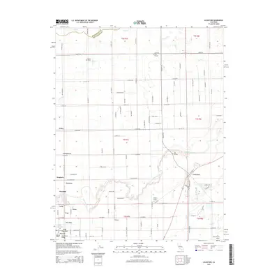
2015 Map of Lockeford
USGS Topo · Published 2015About this map
The Mokelumne River winds through the heart of this landscape, its serpentine path defining the agricultural and residential development of the San Joaquin Valley east of Lodi. Established settlements like Lockeford and Victor anchor the eastern and central portions of the map, while smaller communities such as Youngstown, Cherokee, and Guild reflect the historical growth of this fertile region. The presence of multiple cemeteries, including the Elliott Cemetery and Harmony Grove Cemetery, offers significant research value for those tracing local family histories. A network of country roads, such as E Peltier Rd and Jack Tone Byp, connects these agrarian hubs, while the Jahant Slough and Coyote Cr drain the northern reaches. To the northwest, Vetters Sky Ranch indicates the region's aviation heritage amidst the sprawling orchards and vineyards.
Find a feature on this map
59 named features on this map. Tap any name to fly to it.
Don’t see what you’re looking for? This feature index may not catch every label — zoom into the map to look around manually.
Map Details
Editions of this 2015 Lockeford Map
This is the sole edition of this map. No revisions or reprints were ever made.
Other maps of this area

1894 · Lodi
USGS Topo · 1:125,000

1908 · Waterloo
USGS Topo · 1:31,680

1908 · Linden
USGS Topo · 1:31,680

1908 · Lockeford
USGS Topo · 1:31,680

1909 · Clay
USGS Topo · 1:31,680

1909 · Goose Creek
USGS Topo · 1:31,680

1909 · Clements
USGS Topo · 1:31,680

1910 · Castle
USGS Topo · 1:31,680

1910 · Woodbridge
USGS Topo · 1:31,680

1910 · Galt
USGS Topo · 1:31,680