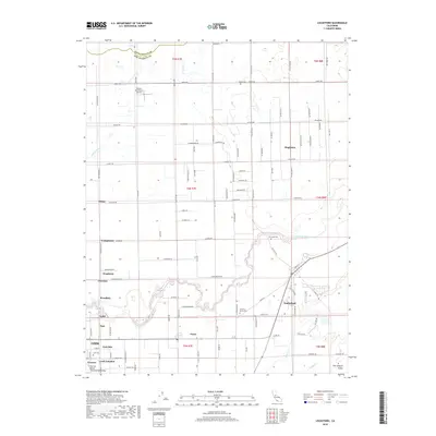
2018 Map of Lockeford
USGS Topo · Published 2018About this map
The Mokelumne River winds through the heart of this San Joaquin County landscape, serving as a defining geographical feature for the agricultural communities of Lockeford and Victor. This region exhibits a dense network of local roads and established farmsteads, punctuated by numerous small settlements like Dogtown, Youngstown, and Peltier. The presence of multiple burial grounds, including Harmony Grove Cem, Locke Cem, and Lodi Cem, provides significant touchpoints for genealogical research in an area deeply rooted in Central Valley history.
Find a feature on this map
98 named features on this map. Tap any name to fly to it.
Don’t see what you’re looking for? This feature index may not catch every label — zoom into the map to look around manually.
Map Details
Editions of this 2018 Lockeford Map
This is the sole edition of this map. No revisions or reprints were ever made.
Other maps of this area

1894 · Lodi
USGS Topo · 1:125,000

1908 · Waterloo
USGS Topo · 1:31,680

1908 · Linden
USGS Topo · 1:31,680

1908 · Lockeford
USGS Topo · 1:31,680

1909 · Clay
USGS Topo · 1:31,680

1909 · Goose Creek
USGS Topo · 1:31,680

1909 · Clements
USGS Topo · 1:31,680

1910 · Castle
USGS Topo · 1:31,680

1910 · Woodbridge
USGS Topo · 1:31,680

1910 · Galt
USGS Topo · 1:31,680