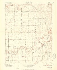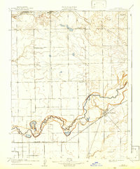
1908 Map of Lockeford
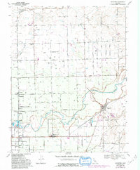
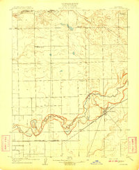
USGS Topo · Published 1942About this map
Lockeford serves as the primary hub of this Central Valley landscape, situated along the Southern Pacific (Valley Branch) railroad during the early twentieth century. The town's layout is closely tied to the meandering path of the Mokelumne River, which defines the local topography with its intricate oxbows and floodplains. To the north, the small settlement of Elliott sits near Coyote Creek, while the rural countryside is organized by a network of early schools, including Dry Creek School, Telegraph School, and Brunswick School. The presence of a Race Track near the railroad line suggests a community gathering point, reflecting the social life of the era. The survey also captures the convergence of several waterways, including Dry Creek along the northern Boundary Line and Bear Creek to the south, highlighting the agricultural importance of irrigation and water access in San Joaquin County.
Find a feature on this map
16 named features on this map. Tap any name to fly to it.
Don’t see what you’re looking for? This feature index may not catch every label — zoom into the map to look around manually.
Map Details
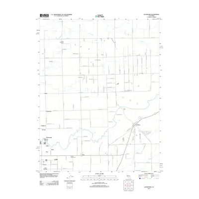
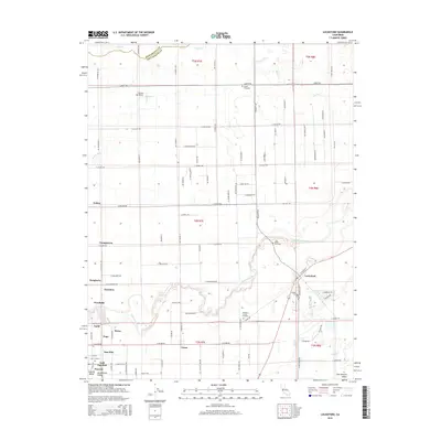
Editions of this 1908 Lockeford Map
2 editions found
Historical Maps of Lodi Through Time
7 maps found