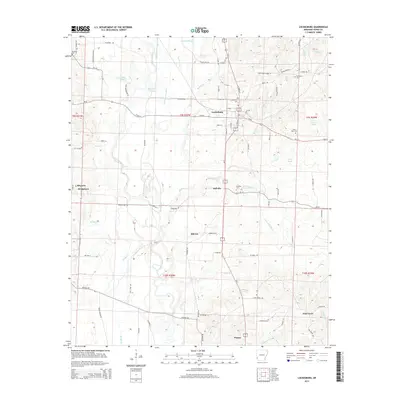
2014 Map of Lockesburg
USGS Topo · Published 2014About this map
The Cossatot River and its intricate network of tributaries, including Little Cossatot River and Borne Mill Slough, define the hydraulic character of this Sevier County landscape. The town of Lockesburg serves as the central hub, where Us-71 meets the historical route of Ar-24. Smaller settlements and neighborhood clusters like Bellville, Milrose, and Stringtown are dispersed across the terrain, connected by a dense web of rural roads such as Old Confederate Dr and Provo Rd.
Find a feature on this map
98 named features on this map. Tap any name to fly to it.
Don’t see what you’re looking for? This feature index may not catch every label — zoom into the map to look around manually.
Map Details
Editions of this 2014 Lockesburg Map
This is the sole edition of this map. No revisions or reprints were ever made.
Other maps of this area

1913 · De Queen
USGS Topo · 1:125,000

1950 · Mcalester
USGS Topo · 1:250,000

1950 · Ben Lomond
USGS Topo · 1:24,000

1950 · Falls Chapel
USGS Topo · 1:24,000

1950 · Winthrop
USGS Topo · 1:24,000

1951 · Winthrop
USGS Topo · 1:24,000

1951 · Ben Lomond
USGS Topo · 1:24,000

1951 · Falls Chapel
USGS Topo · 1:24,000

1951 · Horatio
USGS Topo · 1:24,000

1951 · Lockesburg
USGS Topo · 1:24,000