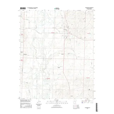
2017 Map of Lockesburg
USGS Topo · Published 2017About this map
Lockesburg serves as the primary hub of this Sevier County landscape, where the local road network converges at the intersection of US Highway 71 and W Main. The surrounding countryside is defined by the complex hydrology of the Cossatot River and its many distributaries, including White Oak Slough, Sandy Slough, and Borne Mill Slough. These slow-moving water bodies create a distinctive swampy terrain that has historically influenced the placement of settlements and transport routes.
Find a feature on this map
86 named features on this map. Tap any name to fly to it.
Don’t see what you’re looking for? This feature index may not catch every label — zoom into the map to look around manually.
Map Details
Editions of this 2017 Lockesburg Map
This is the sole edition of this map. No revisions or reprints were ever made.
Other maps of this area

1913 · De Queen
USGS Topo · 1:125,000

1950 · Mcalester
USGS Topo · 1:250,000

1950 · Ben Lomond
USGS Topo · 1:24,000

1950 · Falls Chapel
USGS Topo · 1:24,000

1950 · Winthrop
USGS Topo · 1:24,000

1951 · Winthrop
USGS Topo · 1:24,000

1951 · Ben Lomond
USGS Topo · 1:24,000

1951 · Falls Chapel
USGS Topo · 1:24,000

1951 · Horatio
USGS Topo · 1:24,000

1951 · Lockesburg
USGS Topo · 1:24,000