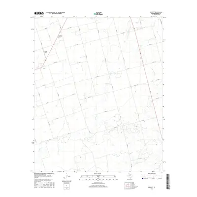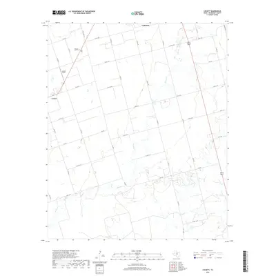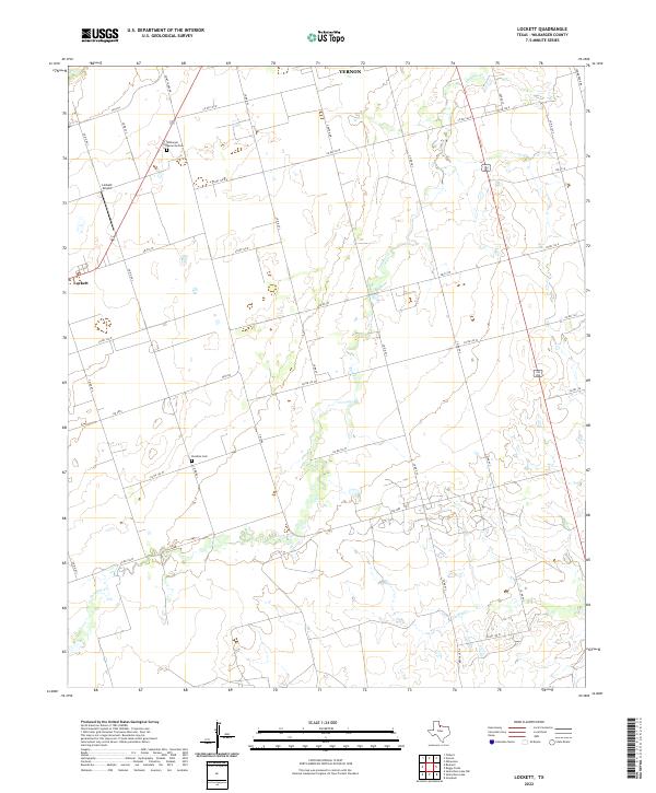
2022 Map of Lockett
USGS Topo · Published 2022About this map
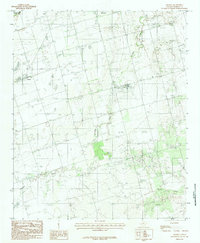
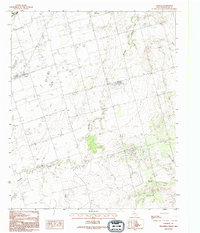
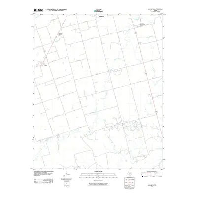
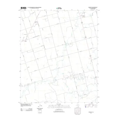
Lockett and the southwestern outskirts of Vernon characterize this agricultural region of Wilbarger County. The landscape is defined by a dense network of country roads, including Co Rd 128 W and Co Rd 95 S, which partition the territory into regular farming plots. The winding path of Paradise Cr meanders south toward Turkey Cr, creating the primary relief in the otherwise steady terrain. This survey captures the rural infrastructure of the early 2020s, highlighting local landmarks like the Lockett Airport and the Wilbarger Memorial Park north of town. For those researching local burials, the Paradise Cem is located centrally along Co Rd 89 S, serving as a primary point of interest for genealogical study in this corner of North Texas.
Find a feature on this map
35 named features on this map. Tap any name to fly to it.
Don’t see what you’re looking for? This feature index may not catch every label — zoom into the map to look around manually.
Map Details
Editions of this 2022 Lockett Map
This is the sole edition of this map. No revisions or reprints were ever made.
Historical Maps of Vernon Through Time
7 maps found