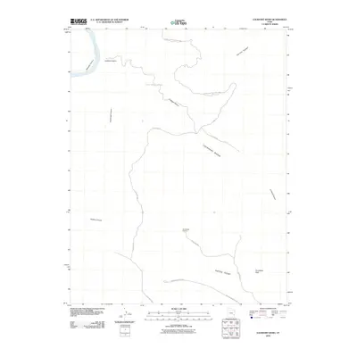
2010 Map of Lockhart Basin
USGS Topo · Published 2010About this map
Canyon Lands National Park boundaries define the western and northern reaches of this high-desert plateau, where the Colorado River carves deep through Meander Canyon. The landscape is dominated by the massive Lockhart Basin and the elevated terrain of Hatch Point, providing a vantage point over the complex drainage systems of Lockhart Canyon and Horsehead Canyon. A network of unpaved tracks, including Lockhart Rd and Rustlers Rd, provides the only access through these canyons and across the basin floor. One of the most prominent landmarks on the southern edge is The Needles Overlook, which stands above the deep recesses of Rustlers Canyon, offering a geographical perspective of the red rock country before the widespread digital era changed how these backcountry routes were documented.
Find a feature on this map
14 named features on this map. Tap any name to fly to it.
Don’t see what you’re looking for? This feature index may not catch every label — zoom into the map to look around manually.
Map Details
Editions of this 2010 Lockhart Basin Map
This is the sole edition of this map. No revisions or reprints were ever made.
Other maps of this area

1885 · La Sal
USGS Topo · 1:250,000

1951 · Upheaval Dome
USGS Topo · 1:62,500

1952 · Carlisle 2 SE
USGS Topo · 1:24,000

1952 · Carlisle 2 NE
USGS Topo · 1:24,000

1953 · The Needles
USGS Topo · 1:62,500

1954 · Carlisle 4 NW
USGS Topo · 1:24,000

1954 · Carlisle 1 NE
USGS Topo · 1:24,000

1954 · Carlisle 1 SE
USGS Topo · 1:24,000

1954 · Carlisle 1 NW
USGS Topo · 1:24,000

1954 · Carlisle 4 NE
USGS Topo · 1:24,000