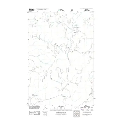
2011 Map of Lockhart Meadows
USGS Topo · Published 2011About this map
Champion Mine and the Ruby Mine anchor the northern reaches of this Montana landscape, where high-altitude mineral extraction defines the historical geography of the region. The map details a rugged drainage network where the Boulder River is fed by the West Fork Boulder River and South Fork Boulder River, creating a complex of meadows and gulches. Evidence of early land use and transit is visible through the positioning of Lockhart Ranch near the expansive Lockhart Meadows, and the intersection at Four Corners.
Find a feature on this map
28 named features on this map. Tap any name to fly to it.
Don’t see what you’re looking for? This feature index may not catch every label — zoom into the map to look around manually.
Map Details
Editions of this 2011 Lockhart Meadows Map
This is the sole edition of this map. No revisions or reprints were ever made.
Other maps of this area

1889 · Helena
USGS Topo · 1:250,000

1893 · Helena
USGS Topo · 1:250,000

1899 · Boulder
USGS Topo · 1:125,000

1899 · Helena
USGS Topo · 1:250,000

1903 · Helena
USGS Topo · 1:250,000

1947 · Butte
USGS Topo · 1:250,000

1954 · Elk Park
USGS Topo · 1:62,500

1954 · Basin
USGS Topo · 1:62,500

1958 · Butte
USGS Topo · 1:250,000

1959 · Butte North
USGS Topo · 1:62,500