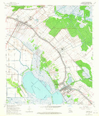
1963 Map of Lockport
USGS Topo · Published 1964About this map
Bayou Lafourche dictates the narrow, linear settlement patterns of this Louisiana delta landscape, with communities like Raceland, Mathews, and Lockport hugging the high ground along its banks. The 1960s economy is clearly defined by the transition from agriculture to industry, where sprawling sugar cane fields with their distinctive long-lot drainage patterns meet the burgeoning Raceland Gas Field and numerous oil wells. In Lockport, the confluence of the Company Canal and the bayou highlights the area's history as a regional transit hub. Local life is documented through landmarks like the Raceland High School, the Drive-in Theater near Hadley Cemetery, and the Southern Pacific railroad line that parallels the waterway. The vast expanse of Lake Fields and the surrounding marshlands of Bayou Folse underscore the delicate balance between the reclaimed prairie and the encroaching swamp.
Find a feature on this map
40 named features on this map. Tap any name to fly to it.
Don’t see what you’re looking for? This feature index may not catch every label — zoom into the map to look around manually.
Map Details
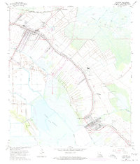
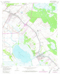
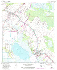
Editions of this 1963 Lockport Map
4 editions found
Other maps of this area

1891 · Hahnville
USGS Topo · 1:62,500

1892 · Lac Des Allemands
USGS Topo · 1:62,500

1892 · Cut-Off
USGS Topo · 1:62,500

1892 · Houma
USGS Topo · 1:62,500

1932 · Houma SE
USGS Topo · 1:31,680

1932 · Lac Des Allemands SE
USGS Topo · 1:31,680

1932 · Lac Des Allemands SW
USGS Topo · 1:31,680

1932 · Houma SW
USGS Topo · 1:31,680

1932 · Houma NE
USGS Topo · 1:31,680

1932 · Houma NW
USGS Topo · 1:31,680