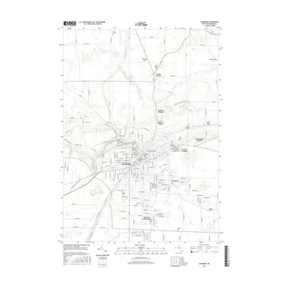
2016 Map of Lockport
USGS Topo · Published 2016About this map
The Erie Canal serves as the structural heart of this Niagara County landscape, cutting through the city of Lockport and defining its industrial and transit history. The canal's path is marked by significant engineering and local landmarks, including the notable ravine known as The Gulf and the tracks of the Lockport Railroad. The surrounding area shows a high density of religious and municipal history, particularly evident in the cluster of burial grounds near the city center, such as Saint Patricks Cem, Glenwood Cem, and Saint Mary's Roman Catholic Cem.
Find a feature on this map
175 named features on this map. Tap any name to fly to it.
Don’t see what you’re looking for? This feature index may not catch every label — zoom into the map to look around manually.
Map Details
Editions of this 2016 Lockport Map
This is the sole edition of this map. No revisions or reprints were ever made.
Other maps of this area

1894 · Wilson
USGS Topo · 1:62,500

1897 · Tonawanda
USGS Topo · 1:62,500

1897 · Olcott
USGS Topo · 1:62,500

1897 · Lockport
USGS Topo · 1:62,500

1899 · Niagara
USGS Topo · 1:125,000

1900 · Wilson
USGS Topo · 1:62,500

1900 · Tonawanda
USGS Topo · 1:62,500

1901 · Tonawanda
USGS Topo · 1:62,500

1902 · Lockport
USGS Topo · 1:62,500

1905 · Lockport
USGS Topo · 1:62,500