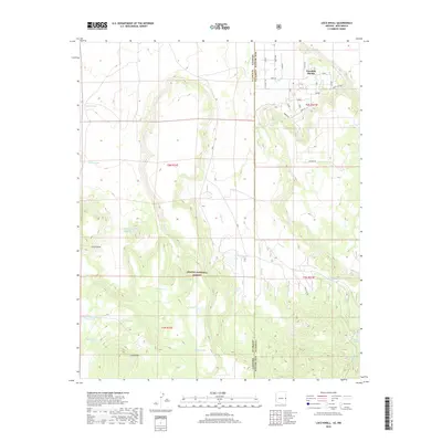
2018 Map of Loco Knoll
USGS Topo · Published 2018About this map
Escudilla Bonita lies at the northern edge of this high-country landscape, where the high desert terrain transitions into the wooded expanses of the Apache National Forest. This remote section of the borderlands is defined by a sophisticated network of water management features, including numerous livestock tanks such as Ditch Tank, Cinder Tank, and Loco Twenty-nine Knoll Tank. These water sources, alongside natural points like Chase Spring and Pratt Lake, were essential for sustaining ranching operations in the arid environment between the Loco Knolls and the Arizona-New Mexico state line. The map illustrates a landscape of intermittent drainage and varied elevation, notably along Coyote Cr, where early roads like Bear Canyon and Valley provided access to isolated homesteads and forest tracts.
Find a feature on this map
35 named features on this map. Tap any name to fly to it.
Don’t see what you’re looking for? This feature index may not catch every label — zoom into the map to look around manually.
Map Details
Editions of this 2018 Loco Knoll Map
This is the sole edition of this map. No revisions or reprints were ever made.
Other maps of this area

1886 · St Johns
USGS Topo · 1:250,000

1892 · St Johns
USGS Topo · 1:250,000

1915 · Reserve
USGS Topo · 1:125,000

1918 · Reserve
USGS Topo · 1:125,000

1922 · Nutrioso
USGS Topo · 1:125,000

1954 · Clifton
USGS Topo · 1:250,000

1954 · Saint Johns
USGS Topo · 1:250,000

1957 · Clifton
USGS Topo · 1:250,000

1957 · Saint Johns
USGS Topo · 1:250,000

1958 · Clifton
USGS Topo · 1:250,000