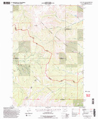
1995 Map of Loco Mountain
USGS Topo · Published 1997About this map
Loco Mountain and Lebo Peak dominate this high-altitude landscape in the mid-1990s, marking a significant intersection of federal lands and county jurisdictions. This survey captures the complex drainage systems that define the area, where the headwaters of the Shields River and various forks of the American Fork begin their descent. The terrain is divided between the Lewis and Clark National Forest and the Gallatin National Forest, reflecting the managed wilderness character of the region.
Find a feature on this map
36 named features on this map. Tap any name to fly to it.
Don’t see what you’re looking for? This feature index may not catch every label — zoom into the map to look around manually.
Map Details
Editions of this 1995 Loco Mountain Map
2 editions found
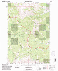
Other maps of this area

1886 · Little Belt Mts.
USGS Topo · 1:250,000

1894 · Little Belt Mts.
USGS Topo · 1:250,000

1897 · Little Belt Mts.
USGS Topo · 1:250,000

1898 · Little Belt Mts.
USGS Topo · 1:250,000

1902 · Little Belt Mts.
USGS Topo · 1:250,000

1948 · White Sulphur Springs
USGS Topo · 1:250,000

1958 · White Sulphur Springs
USGS Topo · 1:250,000

1961 · White Sulphur Springs
USGS Topo · 1:250,000

1965 · White Sulphur Springs
USGS Topo · 1:250,000
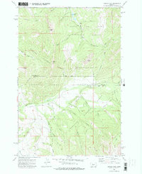
1972 · Virginia Peak
USGS Topo · 1:24,000