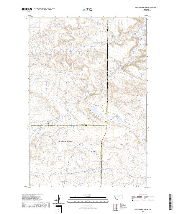
2024 Map of Locomotive Butte SW
USGS Topo · Published 2024About this map
The rolling rangelands of central Montana converge at the triple-point of Golden Valley, Sweet Grass, and Stillwater counties. This landscape is defined by the drainage patterns of the Big Coulee Creek system, where the North Fork Big Coulee Creek and South Fork Big Coulee Creek wind through high-plains terrain. The map captures a primarily rural and ranching environment, anchored by local transport routes like Hines Ranch Rd and S Barber Rd.
Find a feature on this map
17 named features on this map. Tap any name to fly to it.
Don’t see what you’re looking for? This feature index may not catch every label — zoom into the map to look around manually.
Map Details
Editions of this 2024 Locomotive Butte SW Map
This is the sole edition of this map. No revisions or reprints were ever made.
Other maps of this area

1889 · Big Snowy Mountain
USGS Topo · 1:250,000

1891 · Big Timber
USGS Topo · 1:125,000

1892 · Stillwater
USGS Topo · 1:125,000

1893 · Big Snowy Mountain
USGS Topo · 1:250,000

1893 · Big Timber
USGS Topo · 1:125,000

1954 · Billings
USGS Topo · 1:250,000

1954 · Roundup
USGS Topo · 1:250,000

1955 · Russell Gulch
USGS Topo · 1:24,000

1956 · Rapelje
USGS Topo · 1:24,000

1957 · Billings
USGS Topo · 1:250,000