1974 Map of Locust Grove
USGS Topo · Published 1977About this map
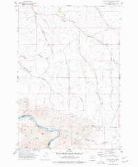
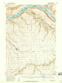
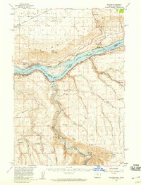
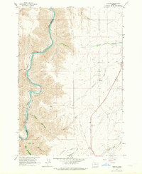
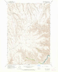
Locust Grove serves as the focal point of this rural Sherman County landscape, characterized by a series of deep canyons and high ridges that descend toward the water. The infrastructure of the mid-1970s is clearly visible, from the Grain Elevator and Landing Strip near the settlement to the network of storage bins and wells scattered across the uplands. A lonely Grave situated near Frank Fulton Canyon provides a specific point of interest for genealogists and local historians, anchoring the map to the human history of the terrain.
Find a feature on this map
39 named features on this map. Tap any name to fly to it.
Don’t see what you’re looking for? This feature index may not catch every label — zoom into the map to look around manually.
Map Details
Editions of this 1974 Locust Grove Map
This is the sole edition of this map. No revisions or reprints were ever made.
Other maps of this area

1953 · The Dalles
USGS Topo · 1:250,000

1956 · The Dalles
USGS Topo · 1:250,000

1957 · The Dalles
USGS Topo · 1:250,000
1957 · Wasco
USGS Topo · 1:62,500
1957 · Wishram
USGS Topo · 1:62,500
1962 · Erskine
USGS Topo · 1:24,000
1962 · Summit Ridge
USGS Topo · 1:24,000
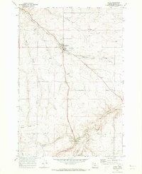
1971 · Moro
USGS Topo · 1:24,000
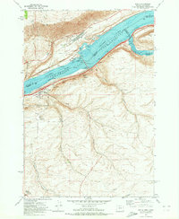
1971 · Rufus
USGS Topo · 1:24,000
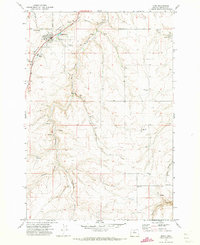
1971 · Wasco
USGS Topo · 1:24,000