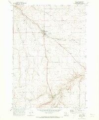
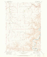
1971 Map of Wasco
USGS Topo · Published 1973About this map
Wasco serves as the central hub of this 1970s landscape, where the agricultural industry is clearly defined by several Storage Bins and a prominent Grain Elevator near the town center. The region is deeply etched by a series of drainage ravines, including China Hollow, Mud Hollow, and Spanish Hollow, which cut through the high plateau country. Settlement patterns are largely dictated by this terrain, with DeMoss Springs situated to the south near a Picnic Area and Gravel Pits.
Find a feature on this map
30 named features on this map. Tap any name to fly to it.
Don’t see what you’re looking for? This feature index may not catch every label — zoom into the map to look around manually.
Map Details
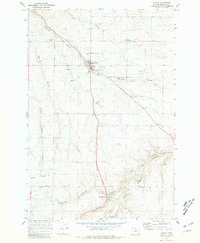
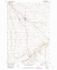
Editions of this 1971 Wasco Map
3 editions found
Other maps of this area

1953 · The Dalles
USGS Topo · 1:250,000

1956 · The Dalles
USGS Topo · 1:250,000

1957 · The Dalles
USGS Topo · 1:250,000

1957 · Wasco
USGS Topo · 1:62,500

1957 · Wishram
USGS Topo · 1:62,500

1962 · Erskine
USGS Topo · 1:24,000

1971 · Moro
USGS Topo · 1:24,000

1971 · Quinton
USGS Topo · 1:24,000
1971 · Klondike
USGS Topo · 1:24,000
1971 · Harmony
USGS Topo · 1:24,000