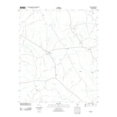
2011 Map of Lodge
USGS Topo · Published 2011About this map
Lodge serves as a central hub in this Lowcountry landscape, defined by a network of rural roads and the slow-moving waters of the Little Salkehatchie River. The town layout includes the Lodge Post Office and the prominent Lodge Lookout Tower, reflecting a community structured around both local service and forest management. Small agricultural settlements like Ashton, Padgetts, and Caldwell dot the surrounding area, connected by a intricate web of state highways and country lanes such as Tobacco Rd and High Cotton Rd.
Find a feature on this map
68 named features on this map. Tap any name to fly to it.
Don’t see what you’re looking for? This feature index may not catch every label — zoom into the map to look around manually.
Map Details
Editions of this 2011 Lodge Map
This is the sole edition of this map. No revisions or reprints were ever made.
Other maps of this area

1918 · Varnville
USGS Topo · 1:62,500

1919 · Olar
USGS Topo · 1:62,500

1919 · Cummings
USGS Topo · 1:62,500

1919 · Lodge
USGS Topo · 1:62,500

1920 · Lodge
USGS Topo · 1:48,000

1921 · Lodge
USGS Topo · 1:62,500

1943 · Olar
USGS Topo · 1:62,500

1943 · Lodge
USGS Topo · 1:62,500

1943 · Orangeburg
USGS Topo · 1:125,000

1943 · Cummings
USGS Topo · 1:62,500