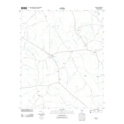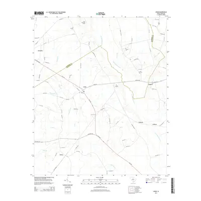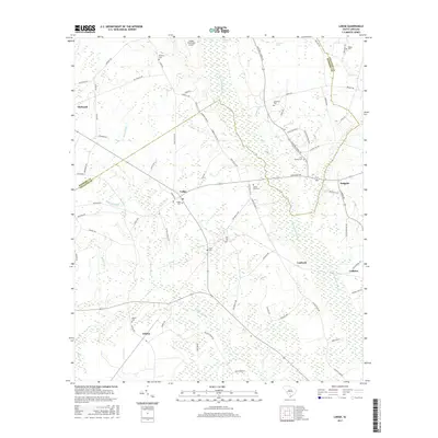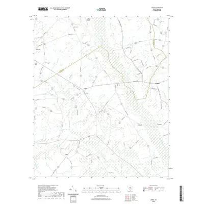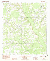
1982 Map of Lodge
USGS Topo · Published 1983About this map
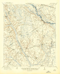
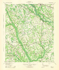
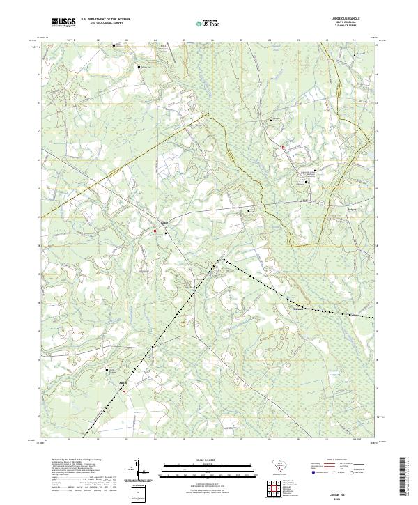
The Little Salkehatchie River meanders through the heart of this Lowcountry landscape, defining the swampy boundary between Bamberg and Colleton counties. During the early 1980s, the rural community of Lodge served as a local hub along the Seaboard Coast Line railroad, which bisects the territory from northwest to southeast. The area is characterized by its numerous small, named watercourses such as McCuren Branch and Willow Branch, which feed into the primary river system. Local history is deeply rooted in the scatter of country churches that anchor the landscape, including Little Swamp Ch and Carter Ford Ch. Genealogists may find particular interest in the Goodwin Cem and the rail-dependent settlement at H and B Junction. The survey illustrates a well-established network of county roads connecting smaller outposts like Ashton and Padgetts to the larger agricultural and timber-producing region.
Find a feature on this map
21 named features on this map. Tap any name to fly to it.
Don’t see what you’re looking for? This feature index may not catch every label — zoom into the map to look around manually.
Map Details
Editions of this 1982 Lodge Map
This is the sole edition of this map. No revisions or reprints were ever made.
Historical Maps of Ehrhardt Through Time
10 maps found