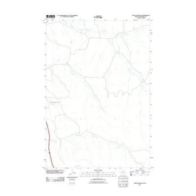
2011 Map of Lodge Grass NE
USGS Topo · Published 2011About this map
Reno Ford and the upper reaches of the Little Bighorn watershed define this pocket of Big Horn County during the early 21st century. The drainage patterns of Reno Creek, South Fork Reno Creek, and Long Otter Creek dominate the landscape, illustrating the natural water management of the Montana plains. Infrastructure remains sparse, centered primarily on Reno Creek Rd and the Jeffers Number 1 Dam, which serves as a notable landmark in an area of winding coulees and intermittent streams. To the south, Shavings Creek and Slaughter Creek further map the intricate hydrology that has historically dictated land use and livestock movement in this region. This survey provides a precise record of the road network and water resources essential for understanding the contemporary geography of the Crow Indian Reservation area.
Find a feature on this map
8 named features on this map. Tap any name to fly to it.
Don’t see what you’re looking for? This feature index may not catch every label — zoom into the map to look around manually.
Map Details
Editions of this 2011 Lodge Grass NE Map
This is the sole edition of this map. No revisions or reprints were ever made.
Other maps of this area

1894 · Rosebud
USGS Topo · 1:125,000

1901 · Rosebud
USGS Topo · 1:125,000

1954 · Hardin
USGS Topo · 1:250,000

1957 · Hardin
USGS Topo · 1:250,000

1958 · Hardin
USGS Topo · 1:250,000

1967 · Crow Agency SE
USGS Topo · 1:24,000

1967 · Lodge Grass NE
USGS Topo · 1:24,000

1967 · Wolf Mountain Lookout
USGS Topo · 1:24,000
1967 · Benteen
USGS Topo · 1:24,000
1967 · Crow Agency
USGS Topo · 1:24,000