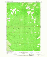
1966 Map of Lodge Point
USGS Topo · Published 1968About this map
Nez Perce National Forest dominates this mid-1960s landscape, where the terrain is defined by a dense network of mountain drainage systems and narrow ridges. The map reveals an area largely undeveloped for road travel, instead relying on an extensive system of Pack Trails that connect remote high points such as Lookout Butte and Lodge Point. These trails follow the contours above the Middle Fork Clear Creek and its many tributaries, providing the primary access through the forest for rangers and travelers alike.
Find a feature on this map
21 named features on this map. Tap any name to fly to it.
Don’t see what you’re looking for? This feature index may not catch every label — zoom into the map to look around manually.
Map Details
Editions of this 1966 Lodge Point Map
2 editions found
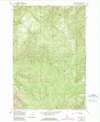
Other maps of this area

1924 · Weippe
USGS Topo · 1:125,000

1931 · Buffalo Hump
USGS Topo · 1:125,000

1934 · Buffalo Hump
USGS Topo · 1:125,000

1956 · Elk City
USGS Topo · 1:250,000

1956 · Hamilton
USGS Topo · 1:250,000

1959 · Hamilton
USGS Topo · 1:250,000

1960 · Elk City
USGS Topo · 1:250,000

1960 · Hamilton
USGS Topo · 1:250,000

1962 · Iron Mtn
USGS Topo · 1:24,000

1962 · Pilot Knob
USGS Topo · 1:24,000