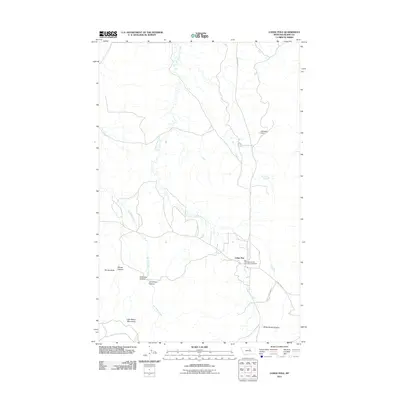
2011 Map of Lodge Pole
USGS Topo · Published 2011About this map
Lodge Pole serves as the primary community hub on this landscape, which transitions from the northern foothills of the Little Rocky Mountains into the drainages of Lodge Pole Creek and Jim Brown Creek. This survey records the layout of the town, including the location of the Fort Belknap Vol Fire Dept Lodgepole, situated at a key junction of local routes like Rte 8 and Lodgepole Rd. The terrain is defined by deep cuts and canyons, such as Valentine Canyon, Jim Brown Canyon, and White Horse Canyon, while landmarks like Mouse Butte offer distinct navigational points. Water management is evident through features like Kirkaldie Dam and the isolated Blackbull Spring, which support the high-plains geography of the region.
Find a feature on this map
16 named features on this map. Tap any name to fly to it.
Don’t see what you’re looking for? This feature index may not catch every label — zoom into the map to look around manually.
Map Details
Editions of this 2011 Lodge Pole Map
This is the sole edition of this map. No revisions or reprints were ever made.
Other maps of this area

1943 · Landusky
USGS Topo · 1:125,000

1953 · Havre
USGS Topo · 1:250,000

1954 · Lewistown
USGS Topo · 1:250,000

1957 · Havre
USGS Topo · 1:250,000

1958 · Havre
USGS Topo · 1:250,000

1959 · Lewistown
USGS Topo · 1:250,000

1971 · Bear Mountain
USGS Topo · 1:24,000

1971 · Hays
USGS Topo · 1:24,000

1971 · Lodge Pole NW
USGS Topo · 1:24,000

1971 · Lodge Pole NE
USGS Topo · 1:24,000
Featured Places
- Lodge Pole, Lodge Pole District
- Lodge Pole District, MT
- Hays District, MT
- Hays, Hays District
- Blaine County, MT