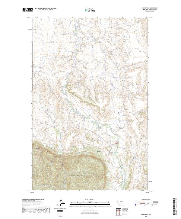
2024 Map of Lodge Pole
USGS Topo · Published 2024About this map
Lodge Pole and Hays anchor this Blaine County landscape where the northern plains meet the rising elevations of the Little Rocky Mountains. The terrain transitions from the relatively level drainage of Lodge Pole Creek in the north to a series of deep, family-named canyons in the south. These include Valentine Canyon, White Cow Canyon, and Little Chief Canyon, which carve through the high ground. Local travel is defined by a network of rural routes such as Dora Helgeson Rd and Jenny Gray Rd, connecting the scattered ranching or residential sites. Notable landmarks like Mouse Butte and Blackbull Spring provide specific points of interest for those tracking historical land use or topographic change. The arrangement of Jim Brown Creek and its associated canyon illustrates the complex drainage patterns that have historically shaped settlement in this part of Montana.
Find a feature on this map
22 named features on this map. Tap any name to fly to it.
Don’t see what you’re looking for? This feature index may not catch every label — zoom into the map to look around manually.
Map Details
Editions of this 2024 Lodge Pole Map
This is the sole edition of this map. No revisions or reprints were ever made.
Other maps of this area

1943 · Landusky
USGS Topo · 1:125,000

1953 · Havre
USGS Topo · 1:250,000

1954 · Lewistown
USGS Topo · 1:250,000

1957 · Havre
USGS Topo · 1:250,000

1958 · Havre
USGS Topo · 1:250,000

1959 · Lewistown
USGS Topo · 1:250,000

1971 · Bear Mountain
USGS Topo · 1:24,000

1971 · Hays
USGS Topo · 1:24,000

1971 · Lodge Pole NW
USGS Topo · 1:24,000

1971 · Lodge Pole NE
USGS Topo · 1:24,000
Featured Places
- Lodge Pole, Lodge Pole District
- Lodge Pole District, MT
- Hays District, MT
- Hays, Hays District
- Blaine County, MT