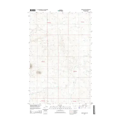
2014 Map of Lodge Pole NW
USGS Topo · Published 2014About this map
Three Buttes rises as the prominent landmark within this Agency District landscape, anchoring the southwest corner of the quadrangle. The terrain is defined by a dense network of drainages, including the headwaters and branches of Peoples Cr and the S Fork Peoples Cr, which carve through the high plains. This 2014 survey illustrates the modern road network essential to the Fort Belknap Reservation area, primarily served by MT-66 and Bia-129. While the map is largely void of dense settlements, the presence of Lodge Pole Cr and Jim Brown Cr in the eastern and southern sectors indicates the vital water sources that historically influenced land use and movement through this part of Blaine County.
Find a feature on this map
13 named features on this map. Tap any name to fly to it.
Don’t see what you’re looking for? This feature index may not catch every label — zoom into the map to look around manually.
Map Details
Editions of this 2014 Lodge Pole NW Map
This is the sole edition of this map. No revisions or reprints were ever made.
Other maps of this area

1953 · Havre
USGS Topo · 1:250,000

1957 · Havre
USGS Topo · 1:250,000

1958 · Havre
USGS Topo · 1:250,000
1971 · Fort Belknap Agency SE
USGS Topo · 1:24,000

1971 · Lodge Pole NW
USGS Topo · 1:24,000

1971 · Lodge Pole NE
USGS Topo · 1:24,000
1971 · Stiffarm Coulee
USGS Topo · 1:24,000
1971 · Lake Seventeen NE
USGS Topo · 1:24,000
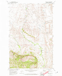
1971 · Lodge Pole
USGS Topo · 1:24,000
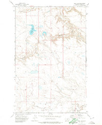
1971 · Bigby Lake
USGS Topo · 1:24,000