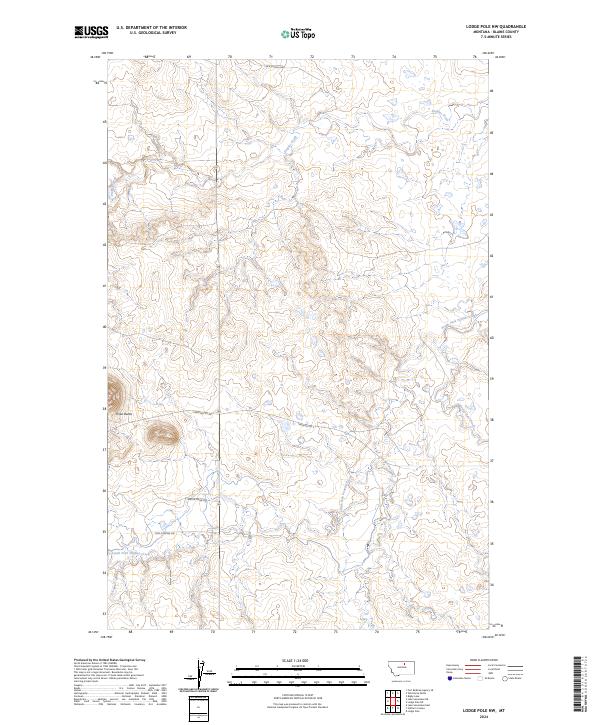
2024 Map of Lodge Pole NW
USGS Topo · Published 2024About this map
Peoples Creek and its complex network of tributaries define this part of Blaine County, where the landscape transitions through a series of named drainages and high points. The terrain is marked by the prominence of Three Buttes and Three Buttes E, which serve as significant local landmarks in this section of the northern plains. The road network reflects a pattern of rural residency and access, with family-named or locally significant routes such as Jack Quisno Dr, Bertha Snow Rd, and Foxy Filesteel Dr tracing the contours of the land. These roads, along with Three Buttes Rd, provide a modern record of land use and settlement patterns within the townships of T27N through T29N. The hydrography is particularly detailed, showing the seasonal flow of South Fork Peoples Creek, Lodge Pole Creek, and Jim Brown Creek.
Find a feature on this map
17 named features on this map. Tap any name to fly to it.
Don’t see what you’re looking for? This feature index may not catch every label — zoom into the map to look around manually.
Map Details
Editions of this 2024 Lodge Pole NW Map
This is the sole edition of this map. No revisions or reprints were ever made.
Other maps of this area

1953 · Havre
USGS Topo · 1:250,000

1957 · Havre
USGS Topo · 1:250,000

1958 · Havre
USGS Topo · 1:250,000
1971 · Fort Belknap Agency SE
USGS Topo · 1:24,000

1971 · Lodge Pole NW
USGS Topo · 1:24,000

1971 · Lodge Pole NE
USGS Topo · 1:24,000
1971 · Stiffarm Coulee
USGS Topo · 1:24,000
1971 · Lake Seventeen NE
USGS Topo · 1:24,000
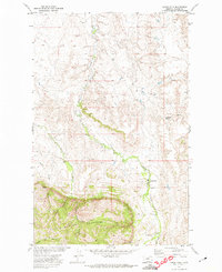
1971 · Lodge Pole
USGS Topo · 1:24,000
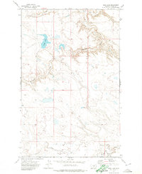
1971 · Bigby Lake
USGS Topo · 1:24,000