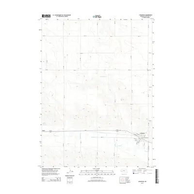
2014 Map of Lodgepole
USGS Topo · Published 2014About this map
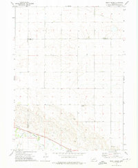
Lodgepole and Sunol anchor the southern corridor of this Cheyenne County landscape, following the historic route of Us-30. The topography is defined by the winding course of Lodgepole Cr, which cuts through the high plains terrain and supports local water management at Deford Reservoir and Fenske Reservoir. The map reveals a highly structured grid of section roads, such as Road 34 and Road 149, which divide the vast agricultural tracts. For those researching local heritage, the Pleasantview Cem serves as a significant landmark in the northeast. The town site of Lodgepole is shown in fine detail, illustrating the intersection of residential streets like Orchard St and Sheldon St near the central transit lines.
Find a feature on this map
29 named features on this map. Tap any name to fly to it.
Don’t see what you’re looking for? This feature index may not catch every label — zoom into the map to look around manually.
Map Details
Editions of this 2014 Lodgepole Map
This is the sole edition of this map. No revisions or reprints were ever made.
Other maps of this area

1899 · Sidney
USGS Topo · 1:125,000

1954 · Scottsbluff
USGS Topo · 1:250,000

1958 · Scottsbluff
USGS Topo · 1:250,000

1972 · Lodgepole
USGS Topo · 1:24,000

1972 · Lisco SW
USGS Topo · 1:24,000
1972 · Lodgepole SE
USGS Topo · 1:24,000
1972 · Lodgepole SW
USGS Topo · 1:24,000
1972 · Lisco SE
USGS Topo · 1:24,000
1972 · Mount Vernon
USGS Topo · 1:24,000

1972 · Sunol
USGS Topo · 1:24,000