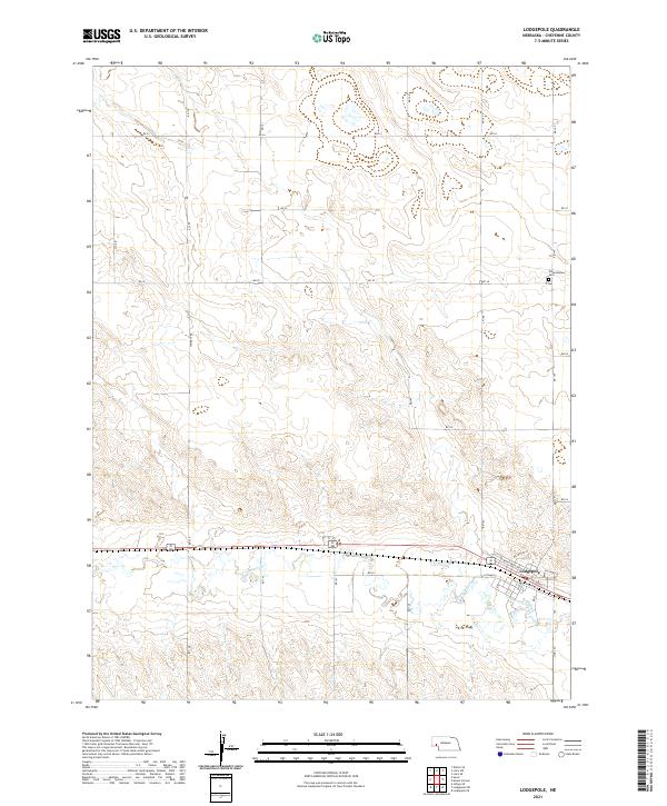
2021 Map of Lodgepole
USGS Topo · Published 2021About this map
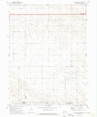
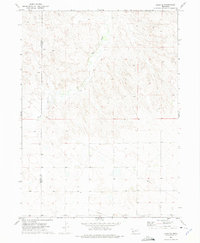
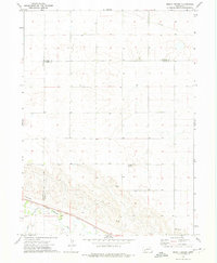
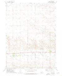
Lodgepole serves as the primary hub of this High Plains landscape, situated along the corridor created by Lodgepole Creek. The town's grid is clearly defined by named thoroughfares including Sheldon St, Latham St, and Orchard St, reflecting a community tied to the transcontinental transport routes that follow the creek valley. To the north, the terrain transitions into a vast sectioned agricultural landscape, where family-named landmarks like Weyerts Rd and Mc Bride appear alongside the isolated Pleasantview Cem. The network of section line roads, from Rd 34 down to Rd 22, illustrates the rigid township and range system that organized this part of Cheyenne County. This survey captures the region's enduring reliance on the Lodgepole Cr drainage for both settlement patterns and infrastructure placement.
Find a feature on this map
33 named features on this map. Tap any name to fly to it.
Don’t see what you’re looking for? This feature index may not catch every label — zoom into the map to look around manually.
Map Details
Editions of this 2021 Lodgepole Map
This is the sole edition of this map. No revisions or reprints were ever made.
Other maps of this area

1899 · Sidney
USGS Topo · 1:125,000

1954 · Scottsbluff
USGS Topo · 1:250,000

1958 · Scottsbluff
USGS Topo · 1:250,000
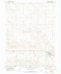
1972 · Lodgepole
USGS Topo · 1:24,000
1972 · Lisco SW
USGS Topo · 1:24,000
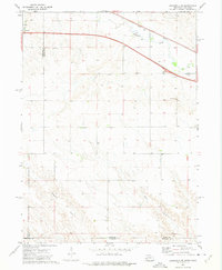
1972 · Lodgepole SE
USGS Topo · 1:24,000
1972 · Lodgepole SW
USGS Topo · 1:24,000
1972 · Lisco SE
USGS Topo · 1:24,000
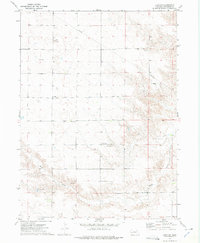
1972 · Mount Vernon
USGS Topo · 1:24,000
1972 · Sunol
USGS Topo · 1:24,000