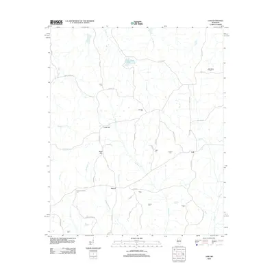
2012 Map of Lodi
USGS Topo · Published 2012About this map
Lodi and the surrounding rural landscape of Montgomery County are defined by a complex network of creeks and small settlements centered around local crossroads. The area's social fabric is anchored by numerous small burial grounds and places of worship, such as New Liberty Baptist Church Cem and the Old Northern Grocery Cem, reflecting long-standing family and community ties. Small ridges and hills separate the various drainage basins, creating a pocketed geography where neighborhoods like Sugar Hill and Cedar Hill developed their own distinct identities near water sources like Mulberry Cr.
Find a feature on this map
53 named features on this map. Tap any name to fly to it.
Don’t see what you’re looking for? This feature index may not catch every label — zoom into the map to look around manually.
Map Details
Editions of this 2012 Lodi Map
This is the sole edition of this map. No revisions or reprints were ever made.
Other maps of this area

1953 · Walthall
USGS Topo · 1:62,500

1953 · West Point
USGS Topo · 1:250,000

1954 · Duck Hill
USGS Topo · 1:62,500

1958 · West Point
USGS Topo · 1:250,000

1963 · West Point
USGS Topo · 1:250,000

1966 · Kilmichael
USGS Topo · 1:24,000

1966 · Winona
USGS Topo · 1:24,000

1966 · Stewart
USGS Topo · 1:24,000

1968 · Weir
USGS Topo · 1:62,500

1968 · Winona
USGS Topo · 1:62,500