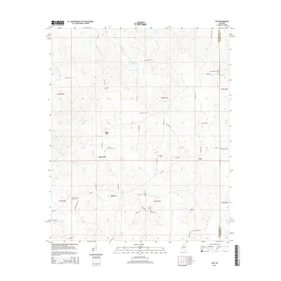
2015 Map of Lodi
USGS Topo · Published 2015About this map
Cedar Hill and Sugar Hill anchor this rural landscape in north-central Mississippi, where the boundaries of Montgomery and Webster counties meet. The area is defined by a dense network of country roads and family-named landmarks, reflecting generations of local settlement. Numerous small burial grounds are scattered throughout the hills, including Shiloh, Salem, and Loggins cemeteries, which serve as vital markers for genealogical research.
Find a feature on this map
59 named features on this map. Tap any name to fly to it.
Don’t see what you’re looking for? This feature index may not catch every label — zoom into the map to look around manually.
Map Details
Editions of this 2015 Lodi Map
This is the sole edition of this map. No revisions or reprints were ever made.
Other maps of this area

1953 · Walthall
USGS Topo · 1:62,500

1953 · West Point
USGS Topo · 1:250,000

1954 · Duck Hill
USGS Topo · 1:62,500

1958 · West Point
USGS Topo · 1:250,000

1963 · West Point
USGS Topo · 1:250,000

1966 · Kilmichael
USGS Topo · 1:24,000

1966 · Winona
USGS Topo · 1:24,000

1966 · Stewart
USGS Topo · 1:24,000

1968 · Weir
USGS Topo · 1:62,500

1968 · Winona
USGS Topo · 1:62,500