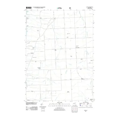
2011 Map of Lodi
USGS Topo · Published 2011About this map
Seneca Lake defines the western edge of this Finger Lakes landscape, where the shoreline drops from the Hector Backbone toward the water. The area's agricultural identity is prominently displayed through named agricultural holdings and vineyards such as Venture Vineyards, Wagner Farms, and Shalestone Vineyards, reflecting the region's established viticulture. Small rural centers like Lodi, Townsendville, and Caywood serve as anchors for the surrounding farmstead network.
Find a feature on this map
91 named features on this map. Tap any name to fly to it.
Don’t see what you’re looking for? This feature index may not catch every label — zoom into the map to look around manually.
Map Details
Editions of this 2011 Lodi Map
This is the sole edition of this map. No revisions or reprints were ever made.
Other maps of this area

1893 · Ithaca
USGS Topo · 1:62,500

1895 · Ithaca
USGS Topo · 1:62,500

1898 · Watkins Glen
USGS Topo · 1:62,500

1901 · Watkins
USGS Topo · 1:62,500

1902 · Genoa
USGS Topo · 1:62,500

1902 · Ovid
USGS Topo · 1:62,500

1905 · Watkins Glen
USGS Topo · 1:125,000

1942 · Ovid
USGS Topo · 1:31,680

1942 · Dundee
USGS Topo · 1:24,000

1942 · Lodi
USGS Topo · 1:24,000