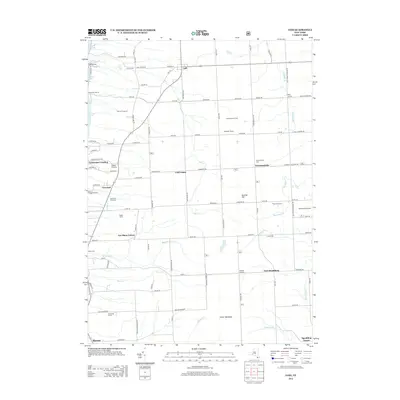
2013 Map of Lodi
USGS Topo · Published 2013About this map
The agricultural and viticultural landscape of the Finger Lakes region defines this area along the eastern shore of Seneca Lake. The terrain is dominated by the Hector Backbone and Butcher Hill, with numerous creeks such as Mill Cr and Sawmill Cr carving paths toward the lake. A significant concentration of vineyards, including Venture Vineyards, Wagner Vineyards, and Silver Thread Vineyard, highlights the local economy's reliance on the unique lakeside microclimate.
Find a feature on this map
109 named features on this map. Tap any name to fly to it.
Don’t see what you’re looking for? This feature index may not catch every label — zoom into the map to look around manually.
Map Details
Editions of this 2013 Lodi Map
This is the sole edition of this map. No revisions or reprints were ever made.
Other maps of this area

1893 · Ithaca
USGS Topo · 1:62,500

1895 · Ithaca
USGS Topo · 1:62,500

1898 · Watkins Glen
USGS Topo · 1:62,500

1901 · Watkins
USGS Topo · 1:62,500

1902 · Genoa
USGS Topo · 1:62,500

1902 · Ovid
USGS Topo · 1:62,500

1905 · Watkins Glen
USGS Topo · 1:125,000

1942 · Ovid
USGS Topo · 1:31,680

1942 · Dundee
USGS Topo · 1:24,000

1942 · Lodi
USGS Topo · 1:24,000