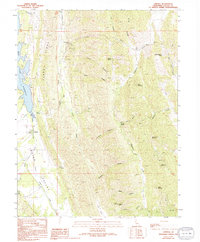
1989 Map of Lodoga
USGS Topo · Published 1994About this map
Lodoga sits at the edge of the Indian Valley, serving as a central point for the surrounding canyon and ridge landscape of the inner Coast Range. The terrain is characterized by a series of north-south elevations including Clark Ridge and High Valley, which hem in the drainage basins of Indian Creek and Wilson Creek. The western portion of the map is dominated by the waters of the East Park Reservoir, a notable contrast to the arid, complex topography found further east. Genealogists and local historians can locate the Cem near the settlement, while the network of water sources like Scotties Spring and Stites Spring highlights the critical importance of reliable water in this environment. The presence of a Radio Facility near Grapevine Pass and numerous 4WD trails across Devils Elbow and Deer Flat illustrates how late 20th-century utility and access reached into these more isolated areas.
Find a feature on this map
38 named features on this map. Tap any name to fly to it.
Don’t see what you’re looking for? This feature index may not catch every label — zoom into the map to look around manually.
Map Details
Editions of this 1989 Lodoga Map
2 editions found
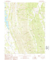
Other maps of this area

1904 · Logan Creek
USGS Topo · 1:24,000

1904 · Sites
USGS Topo · 1:24,000

1905 · Fairview
USGS Topo · 1:24,000

1917 · Sites
USGS Topo · 1:31,680

1918 · Logan Creek
USGS Topo · 1:31,680

1920 · Venado
USGS Topo · 1:62,500

1924 · Bartlett Springs
USGS Topo · 1:62,500

1942 · Bartlett Springs
USGS Topo · 1:62,500

1943 · Lodoga
USGS Topo · 1:62,500

1944 · Bartlett Springs
USGS Topo · 1:62,500