
1971 Map of Logan
USGS Topo · Published 1973About this map
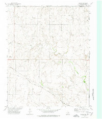
Logan serves as the central settlement in this early 1970s landscape along the Oklahoma-Texas border. The area is defined by the winding paths of Kiowa Creek and Indian Creek, where the natural drainage of the High Plains meets an expanding energy infrastructure. The presence of the Logan Gas Field, a Gas Plant, and various pipelines indicates the region's mid-century shift toward petroleum production. Local history is anchored by the Kiowa Cemetery, while topographical markers like Indian Hill and the Blue Grass region provide geographic context to this Beaver County landscape. The map also records early industrial sites such as multiple sandpits, reflecting the local extraction of materials from the creek beds to support regional development.
Find a feature on this map
16 named features on this map. Tap any name to fly to it.
Don’t see what you’re looking for? This feature index may not catch every label — zoom into the map to look around manually.
Map Details
Editions of this 1971 Logan Map
This is the sole edition of this map. No revisions or reprints were ever made.
Other maps of this area

1954 · Perryton
USGS Topo · 1:250,000

1958 · Perryton
USGS Topo · 1:250,000

1971 · Clear Lake
USGS Topo · 1:24,000

1971 · Clear Lake SE
USGS Topo · 1:24,000

1971 · Logan NW
USGS Topo · 1:24,000

1971 · Logan NE
USGS Topo · 1:24,000

1971 · Slapout
USGS Topo · 1:24,000
1972 · Magoun
USGS Topo · 1:24,000

1972 · Follett
USGS Topo · 1:24,000

1972 · Darrouzett
USGS Topo · 1:24,000