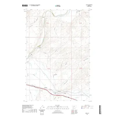
2020 Map of Logan
USGS Topo · Published 2020About this map
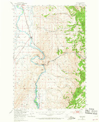
The Missouri River forms at the convergence of vital waterways in this Montana landscape, where the Gallatin River flows into the primary channel near the settlement of Trident. This 2020 map documents the transition between the valley floors and the complex drainage systems of the surrounding hills, including Cottonwood Gulch and Big Davis Gulch. Transportation history is embedded in the terrain, marked by the Northern Pacific Railroad Bridge and the critical crossings of the Trident Bridge and Logan Bridge. Small settlements like Logan, Eustis, and Carpenter are positioned along these corridors, serving as focal points for local history. Genealogists can identify specific burial sites at Headwaters Cem and Logan Cem, while natural features like Cress Springs and Spring Cr highlight the hydrology that once dictated the placement of these early western outposts.
Find a feature on this map
44 named features on this map. Tap any name to fly to it.
Don’t see what you’re looking for? This feature index may not catch every label — zoom into the map to look around manually.
Map Details
Editions of this 2020 Logan Map
This is the sole edition of this map. No revisions or reprints were ever made.
Other maps of this area
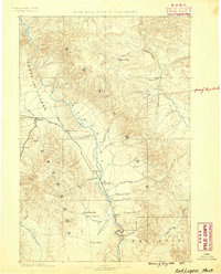
1886 · Fort Logan
USGS Topo · 1:250,000
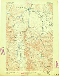
1888 · Three Forks
USGS Topo · 1:250,000
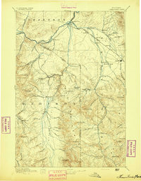
1894 · Three Forks
USGS Topo · 1:250,000
1895 · Three Forks
USGS Topo · 1:250,000

1947 · Bozeman
USGS Topo · 1:250,000

1948 · Bozeman
USGS Topo · 1:250,000
1948 · White Sulphur Springs
USGS Topo · 1:250,000
1949 · Radersburg
USGS Topo · 1:62,500
1949 · Manhattan
USGS Topo · 1:62,500
1949 · Toston
USGS Topo · 1:62,500