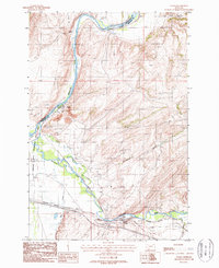
1987 Map of Logan
USGS Topo · Published 1988About this map
Headwaters State Park sits at the significant confluence where the Missouri River begins its course, marking a geography of immense importance to the development of the American West. The landscape is defined by the winding paths of the Gallatin River, including the distinct Gallatin River (Old Channel), and the engineered water management of the Warm Springs Canal. This 1980s era survey captures the junction of traditional ranching and industrial utility, with a Corral and Storage Bins near Eustis contrasted against modern infrastructure like the Burlington Northern railroad and extensive Trans Lines.
Find a feature on this map
24 named features on this map. Tap any name to fly to it.
Don’t see what you’re looking for? This feature index may not catch every label — zoom into the map to look around manually.
Map Details
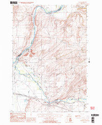
Editions of this 1987 Logan Map
2 editions found
Other maps of this area

1886 · Fort Logan
USGS Topo · 1:250,000

1888 · Three Forks
USGS Topo · 1:250,000

1894 · Three Forks
USGS Topo · 1:250,000

1895 · Three Forks
USGS Topo · 1:250,000

1947 · Bozeman
USGS Topo · 1:250,000

1948 · Bozeman
USGS Topo · 1:250,000

1948 · White Sulphur Springs
USGS Topo · 1:250,000

1949 · Radersburg
USGS Topo · 1:62,500

1949 · Manhattan
USGS Topo · 1:62,500

1949 · Toston
USGS Topo · 1:62,500