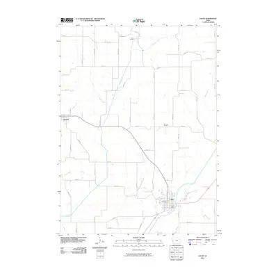
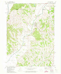
2010 Map of Logan
USGS Topo · Published 2010About this map
Logan serves as a primary hub in this West Central Iowa landscape, situated along the banks of the Boyer River. The township's layout is defined by a dense grid of rural roads and trails, such as Reading Trl and Niagara Trl, which connect various agricultural parcels. Civil infrastructure is centered in the town, including the Logan Post Office and Logan Cemetery, while the western edge of the quadrangle includes the smaller settlement of Magnolia.
Find a feature on this map
46 named features on this map. Tap any name to fly to it.
Don’t see what you’re looking for? This feature index may not catch every label — zoom into the map to look around manually.
Map Details
Editions of this 2010 Logan Map
This is the sole edition of this map. No revisions or reprints were ever made.
Other maps of this area

1954 · Omaha
USGS Topo · 1:250,000

1957 · Omaha
USGS Topo · 1:250,000

1958 · Omaha
USGS Topo · 1:250,000

1970 · Logan
USGS Topo · 1:24,000
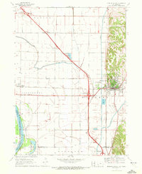
1970 · Missouri Valley
USGS Topo · 1:24,000
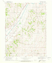
1970 · Beebeetown
USGS Topo · 1:24,000
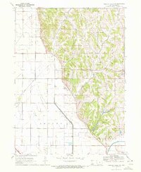
1970 · Missouri Valley NW
USGS Topo · 1:24,000

1971 · Moorhead SE
USGS Topo · 1:24,000

1971 · Dunlap SW
USGS Topo · 1:24,000
1971 · Pisgah
USGS Topo · 1:24,000