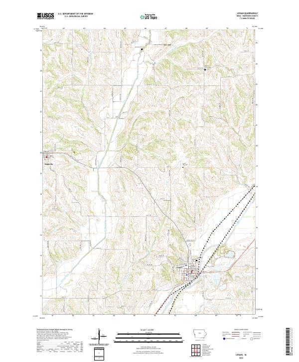
2022 Map of Logan
USGS Topo · Published 2022About this map
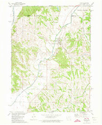
Logan serves as the focal point of this Harrison County landscape, situated where the Boyer River valley meets the surrounding loess hills. The town is anchored by the Harrison County Courthouse, reflecting its role as a regional center of government and commerce. To the west, the smaller settlement of Magnolia sits on higher ground, connected by Ia 127. The drainage patterns of Willow Creek, Hog Cr, and Thompson Cr carve deep ravines into the upland terrain, a characteristic geography of western Iowa. Family history researchers will find several well-distributed burial grounds including Logan Cem, Silver Hill Cem, Purcell Cem, and Biglers Grove Cem, which often mark the sites of early pioneers and rural neighborhoods that predated modern road networks like Co RD f50.
Find a feature on this map
48 named features on this map. Tap any name to fly to it.
Don’t see what you’re looking for? This feature index may not catch every label — zoom into the map to look around manually.
Map Details
Editions of this 2022 Logan Map
This is the sole edition of this map. No revisions or reprints were ever made.
Other maps of this area

1954 · Omaha
USGS Topo · 1:250,000

1957 · Omaha
USGS Topo · 1:250,000

1958 · Omaha
USGS Topo · 1:250,000

1970 · Logan
USGS Topo · 1:24,000
1970 · Missouri Valley
USGS Topo · 1:24,000
1970 · Beebeetown
USGS Topo · 1:24,000
1970 · Missouri Valley NW
USGS Topo · 1:24,000

1971 · Moorhead SE
USGS Topo · 1:24,000

1971 · Dunlap SW
USGS Topo · 1:24,000
1971 · Pisgah
USGS Topo · 1:24,000