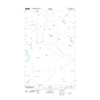
2011 Map of Logan Pass
USGS Topo · Published 2011About this map
Logan Pass serves as the focal point of this high-altitude survey, illustrating the complex geography of the Continental Divide. The primary transit corridor, the Going-To-The-Sun Rd, snakes through the center of the sheet, passing landmarks like the Weeping Wall and the Big Drift. This route facilitates access to numerous trailheads and high-mountain features, including the Hanging Gardens and the Hidden Lake Pass.
Find a feature on this map
51 named features on this map. Tap any name to fly to it.
Don’t see what you’re looking for? This feature index may not catch every label — zoom into the map to look around manually.
Map Details
Editions of this 2011 Logan Pass Map
This is the sole edition of this map. No revisions or reprints were ever made.
Other maps of this area

1904 · Chief Mountain
USGS Topo · 1:125,000

1938 · Chief Mountain
USGS Topo · 1:125,000

1960 · Cut Bank
USGS Topo · 1:250,000

1963 · Cut Bank
USGS Topo · 1:250,000

1964 · Cut Bank
USGS Topo · 1:250,000

1968 · Ahern Pass
USGS Topo · 1:24,000
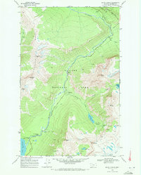
1968 · Mount Cannon
USGS Topo · 1:24,000
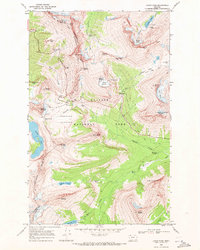
1968 · Logan Pass
USGS Topo · 1:24,000
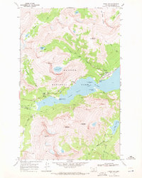
1968 · Rising Sun
USGS Topo · 1:24,000
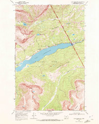
1968 · Lake Sherburne
USGS Topo · 1:24,000