
1968 Map of Ahern Pass
USGS Topo · Published 1971About this map
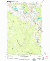
Glacier National Park reveals its high-altitude drainage systems and massive ice fields in this late 1960s survey. The Continental Divide snake-like through the center of the sheet, separating the Pacific and Atlantic watersheds. Hikers and researchers can trace the Highline Trail as it traverses the western face of The Garden Wall, a dramatic arête that looms over the headwaters of McDonald Creek. Notable backcountry structures including the Granite Park Chalet and the Fifty Mtn Shelter Cabin serve as key landmarks for mountaineering history. The map documents numerous receding ice masses like the Swiftcurrent Glacier and Ahern Glacier, alongside named falls such as Atsina Falls and Ipasha Falls. At the southern edge, the engineering of the Going-To-The-Sun Road is visible at The Loop, marking the transition from deep valley floor to the high peaks of the Livingston Range.
Find a feature on this map
50 named features on this map. Tap any name to fly to it.
Don’t see what you’re looking for? This feature index may not catch every label — zoom into the map to look around manually.
Map Details
Editions of this 1968 Ahern Pass Map
3 editions found
Other maps of this area

1904 · Chief Mountain
USGS Topo · 1:125,000

1938 · Chief Mountain
USGS Topo · 1:125,000

1960 · Cut Bank
USGS Topo · 1:250,000

1963 · Cut Bank
USGS Topo · 1:250,000

1964 · Cut Bank
USGS Topo · 1:250,000
1968 · Mount Cannon
USGS Topo · 1:24,000

1968 · Gable Mountain
USGS Topo · 1:24,000
1968 · Camas Ridge East
USGS Topo · 1:24,000
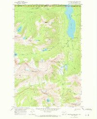
1968 · Porcupine Ridge
USGS Topo · 1:24,000
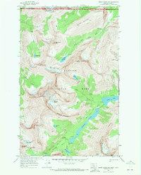
1968 · Mount Cleveland
USGS Topo · 1:24,000