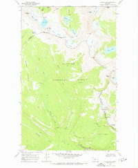
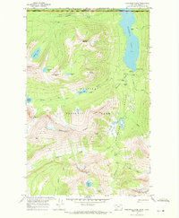
1968 Map of Ahern Pass
USGS Topo · Published 1972About this map
The Continental Divide carves through this high-altitude landscape of Glacier National Park, marking the rugged boundary between Glacier Co and Flathead Co. At the center of the sheet, the massive Garden Wall escarpment towers above the headwaters of McDonald Creek and Mineral Creek. A network of backcountry routes, including the Highline Trail and the Flattop Mountain Trail, connects isolated outposts like the Fifty Mtn Shelter Cabin and the Chalet at Granite Park. The transition from glacial ice to alpine lakes is evident in the proximity of the Ahern Glacier to the sapphire-colored Helen Lake. Along the southern margin, the iconic Going-to-the-Sun Road navigates the sharp curve of The Loop, passing through a Tunnel near Crystal Point.
Find a feature on this map
59 named features on this map. Tap any name to fly to it.
Don’t see what you’re looking for? This feature index may not catch every label — zoom into the map to look around manually.
Map Details
Editions of this 1968 Ahern Pass Map
3 editions found
Other maps of this area

1904 · Chief Mountain
USGS Topo · 1:125,000

1938 · Chief Mountain
USGS Topo · 1:125,000

1960 · Cut Bank
USGS Topo · 1:250,000

1963 · Cut Bank
USGS Topo · 1:250,000

1964 · Cut Bank
USGS Topo · 1:250,000

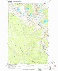
1968 · Ahern Pass
USGS Topo · 1:24,000
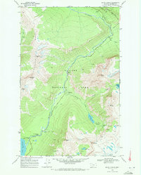
1968 · Mount Cannon
USGS Topo · 1:24,000

1968 · Gable Mountain
USGS Topo · 1:24,000
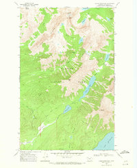
1968 · Camas Ridge East
USGS Topo · 1:24,000
1968 · Porcupine Ridge
USGS Topo · 1:24,000