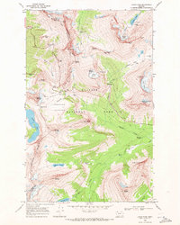
1968 Map of Logan Pass
USGS Topo · Published 1971About this map
Logan Pass serves as the focal point of this 1968 field-checked survey, marking the intersection of the Going-to-the-Sun Road and the Continental Garden Wall Divide. The landscape is dominated by the massive ice and rock formations of the northern Rockies, including Grinnell Glacier and Sperry Glacier. Beyond the primary automobile route, a complex network of footpaths like the Highline Trail and Gunsight Pass Trail navigate the high-altitude terrain, connecting remote points such as the Shelter Cabin and Patrol Cabin. Industrial history is represented by the Cracker Mine near Cracker Lake, while modern park infrastructure is evidenced by the Visitor Center and nearby Water Tank. The map captures the hydrological complexity of the region, from the headwaters of the St Mary River to the dramatic heights of the Hanging Gardens.
Find a feature on this map
69 named features on this map. Tap any name to fly to it.
Don’t see what you’re looking for? This feature index may not catch every label — zoom into the map to look around manually.
Map Details
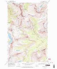
Editions of this 1968 Logan Pass Map
2 editions found
Other maps of this area

1904 · Chief Mountain
USGS Topo · 1:125,000

1938 · Chief Mountain
USGS Topo · 1:125,000

1960 · Cut Bank
USGS Topo · 1:250,000

1963 · Cut Bank
USGS Topo · 1:250,000

1964 · Cut Bank
USGS Topo · 1:250,000

1968 · Ahern Pass
USGS Topo · 1:24,000
1968 · Mount Cannon
USGS Topo · 1:24,000
1968 · Rising Sun
USGS Topo · 1:24,000
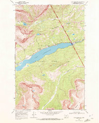
1968 · Lake Sherburne
USGS Topo · 1:24,000
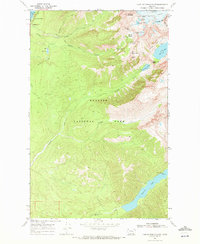
1968 · Lake Mc Donald East
USGS Topo · 1:24,000