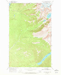
1968 Map of Lake Mc Donald East
USGS Topo · Published 1972About this map
Sperry Chalets stands as a focal point of human presence in this high-altitude landscape within Glacier National Park. This 1968 field-checked survey documents a dramatic topography defined by the Sperry Glacier and a complex network of glacial basins and high-mountain passes. The map details the primitive infrastructure of the era, from the remote Patrol Cabin near Harrison Lake to the vital backcountry routes like the Gunsight Pass Trail. The drainage patterns are clearly visible as meltwater flows from features like Feather Woman Falls and Beaver Medicine Falls into the larger valleys. Between the eastern shore of Lake McDonald and the towering heights of Mt Brown, the map illustrates a landscape where travel was dictated by the natural breaks at Lincoln Pass and Gunsight Pass, providing a record of the park’s interior before more modern developments.
Find a feature on this map
35 named features on this map. Tap any name to fly to it.
Don’t see what you’re looking for? This feature index may not catch every label — zoom into the map to look around manually.
Map Details
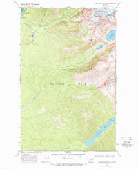
Editions of this 1968 Lake Mc Donald East Map
2 editions found
Other maps of this area

1904 · Chief Mountain
USGS Topo · 1:125,000

1914 · Nyack
USGS Topo · 1:125,000

1938 · Chief Mountain
USGS Topo · 1:125,000

1960 · Cut Bank
USGS Topo · 1:250,000

1963 · Cut Bank
USGS Topo · 1:250,000

1964 · Cut Bank
USGS Topo · 1:250,000

1964 · Nyack
USGS Topo · 1:24,000

1964 · Stanton Lake
USGS Topo · 1:24,000
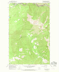
1964 · West Glacier
USGS Topo · 1:24,000
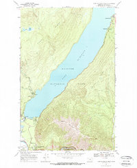
1968 · Lake Mc Donald West
USGS Topo · 1:24,000