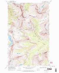
1968 Map of Logan Pass
USGS Topo · Published 1976About this map
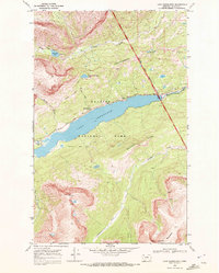
The Garden Wall and the Continental Divide anchor this late-1960s survey of the high mountain terrain. The landscape is defined by its massive ice features and drainage systems, including Grinnell Glacier, Sexton Glacier, and the headwaters of the St Mary River. Human presence is marked primarily by the engineering of the Going-to-the-Sun Road, which traverses the Logan Pass at an elevation of 6646 feet.
Find a feature on this map
65 named features on this map. Tap any name to fly to it.
Don’t see what you’re looking for? This feature index may not catch every label — zoom into the map to look around manually.
Map Details
Editions of this 1968 Logan Pass Map
2 editions found
Other maps of this area

1904 · Chief Mountain
USGS Topo · 1:125,000

1938 · Chief Mountain
USGS Topo · 1:125,000

1960 · Cut Bank
USGS Topo · 1:250,000

1963 · Cut Bank
USGS Topo · 1:250,000

1964 · Cut Bank
USGS Topo · 1:250,000

1968 · Ahern Pass
USGS Topo · 1:24,000
1968 · Mount Cannon
USGS Topo · 1:24,000
1968 · Logan Pass
USGS Topo · 1:24,000
1968 · Rising Sun
USGS Topo · 1:24,000
1968 · Lake Sherburne
USGS Topo · 1:24,000