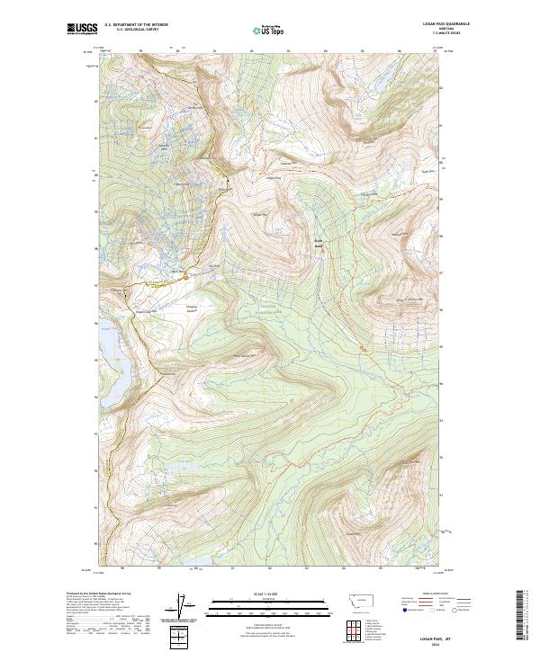
2024 Map of Logan Pass
USGS Topo · Published 2024About this map
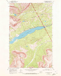
Logan Pass serves as the dramatic centerpiece of this contemporary topographic survey, marking the intersection of the Going-to-the-Sun Road and the Continental Divide National Scenic Trail. The landscape is defined by massive glacial features and sheer verticality, with The Garden Wall forming a prominent arête that separates the western drainage of Logan Creek from the high peaks to the east. The map records the current extent of ice at Piegan, Siyeh, and Sexton Glacier, providing a baseline for these receding features within Glacier National Park. South of the pass, the terrain drops toward the Hanging Gardens and the pristine waters of Hidden Lake, while the headwaters of the Saint Mary River emerge from the eastern slopes near Florence Falls. The density of named peaks, such as Pollock Mtn and Clements Mtn, illustrates the complex geography of the Lewis Range.
Find a feature on this map
62 named features on this map. Tap any name to fly to it.
Don’t see what you’re looking for? This feature index may not catch every label — zoom into the map to look around manually.
Map Details
Editions of this 2024 Logan Pass Map
This is the sole edition of this map. No revisions or reprints were ever made.
Other maps of this area

1904 · Chief Mountain
USGS Topo · 1:125,000

1938 · Chief Mountain
USGS Topo · 1:125,000

1960 · Cut Bank
USGS Topo · 1:250,000

1963 · Cut Bank
USGS Topo · 1:250,000

1964 · Cut Bank
USGS Topo · 1:250,000

1968 · Ahern Pass
USGS Topo · 1:24,000
1968 · Mount Cannon
USGS Topo · 1:24,000
1968 · Logan Pass
USGS Topo · 1:24,000
1968 · Rising Sun
USGS Topo · 1:24,000
1968 · Lake Sherburne
USGS Topo · 1:24,000