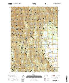
2020 Map of Logan Valley West
USGS Topo · Published 2020About this map
The Strawberry Range dominates the northern landscape of this portion of the Malheur National Forest, where high-elevation terrain gives way to a network of alpine meadows and springs. The eastern edge of the map transition into the expansive Logan Valley, a significant high-altitude basin. This area is characterized by a complex drainage system where Lake Cr and McCoy Cr navigate through marshy openings like Merit Meadows and Little Bear Creek Meadow. Historical land use is evident in the naming of remote landmarks such as Shoestring Glade and Big Bend, while numerous water sources including Italian Spring, Dago Spring, and Mystery Spring suggest the importance of reliable water for early grazing and forestry operations in this part of Grant County.
Find a feature on this map
33 named features on this map. Tap any name to fly to it.
Don’t see what you’re looking for? This feature index may not catch every label — zoom into the map to look around manually.
Map Details
Editions of this 2020 Logan Valley West Map
This is the sole edition of this map. No revisions or reprints were ever made.
Other maps of this area

1940 · John Day
USGS Topo · 1:62,500

1943 · John Day
USGS Topo · 1:62,500

1955 · Canyon City
USGS Topo · 1:250,000

1959 · Canyon City
USGS Topo · 1:250,000

1959 · Prairie City
USGS Topo · 1:62,500

1961 · Logan Valley
USGS Topo · 1:62,500

1961 · Seneca
USGS Topo · 1:62,500
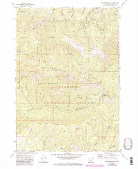
1972 · Pine Creek Mtn
USGS Topo · 1:24,000

1978 · John Day
USGS Topo · 1:100,000
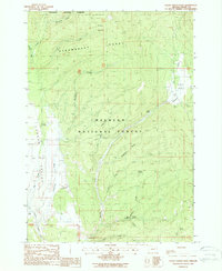
1988 · Logan Valley East
USGS Topo · 1:24,000