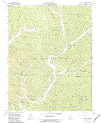
1967 Map of Loggers Lake
USGS Topo · Published 1984About this map
Sinking Creek winds through the heart of this mid-1960s Ozark landscape, carving a complex network of hollows across the border of Dent and Shannon Counties. Much of the terrain is protected within the Clark National Forest, characterized by deep valleys like Dead Horse Hollow and Minninghaw Hollow. Small, isolated cemeteries such as Swiney Cem, Bay Cem, and Delmar Cem are found near the creek beds, providing critical location data for genealogists tracking family burials in this wooded interior. The hydrology of the region is further defined by substantial springs including Sugar Tree Grove Spring and Highley Spring, alongside subterranean features like Cave Spring Cave. In the southeastern corner, Loggers Lake and its adjacent Campgrounds mark a clear recreational shift in land use for this otherwise timber-focused environment.
Find a feature on this map
63 named features on this map. Tap any name to fly to it.
Don’t see what you’re looking for? This feature index may not catch every label — zoom into the map to look around manually.
Map Details
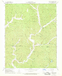
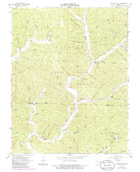
Editions of this 1967 Loggers Lake Map
3 editions found
Other maps of this area

1941 · Stone Hill
USGS Topo · 1:62,500

1943 · Boss
USGS Topo · 1:62,500

1944 · Corridon
USGS Topo · 1:62,500

1945 · Stone Hill
USGS Topo · 1:62,500

1945 · Round Spring
USGS Topo · 1:62,500

1946 · Boss
USGS Topo · 1:62,500

1947 · Sinkin
USGS Topo · 1:48,000

1947 · Corridon
USGS Topo · 1:62,500

1949 · Round Spring
USGS Topo · 1:62,500

1949 · Rolla
USGS Topo · 1:250,000