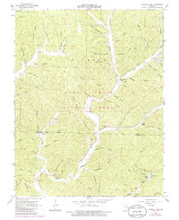
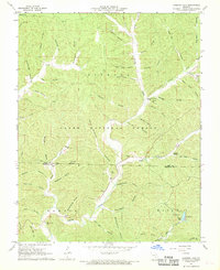
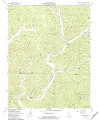
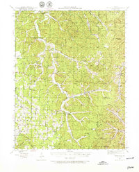
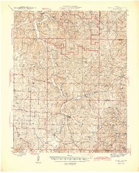
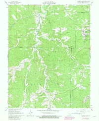
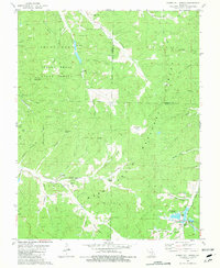
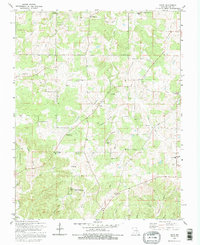
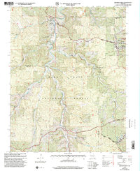
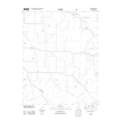
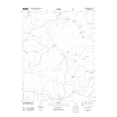
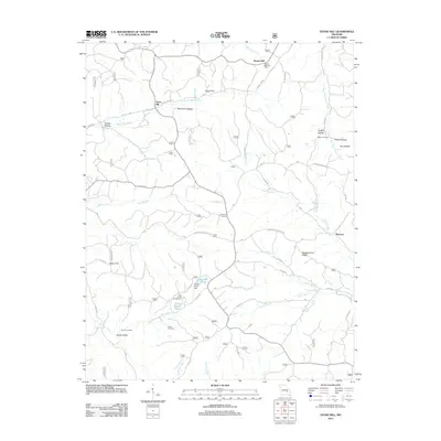
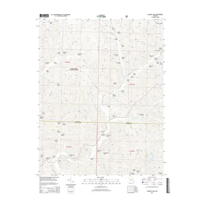
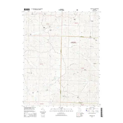
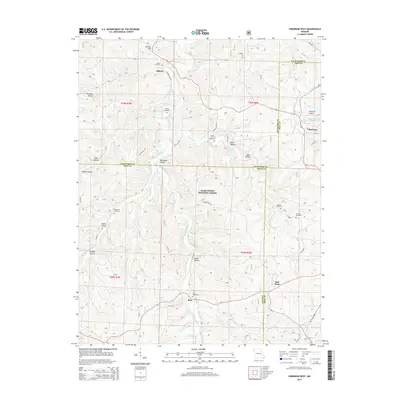
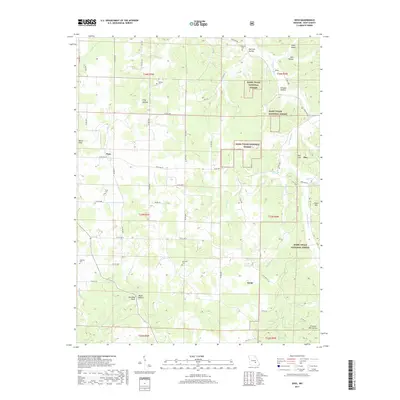
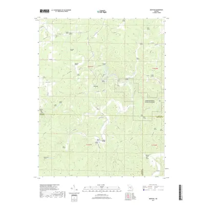
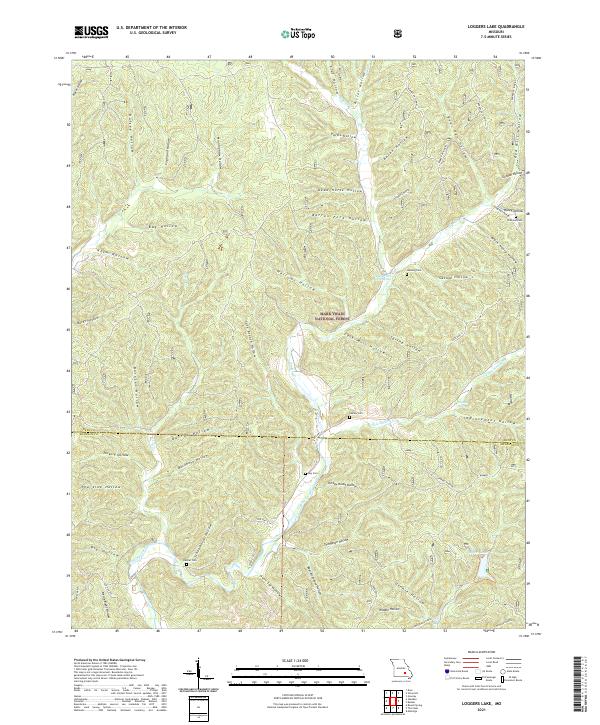
1967 Map of Loggers Lake
USGS Topo · Published 1985About this map
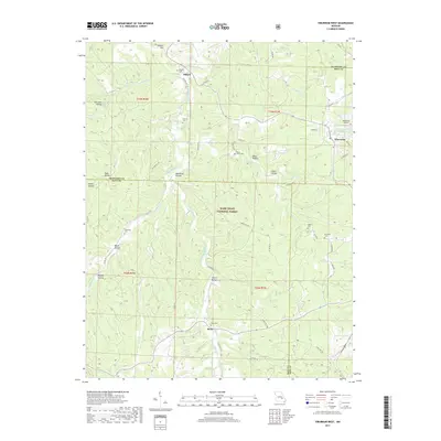
Sinking Creek winds through the heart of this landscape in the Mark Twain National Forest, carving a path through numerous hollows that define the border of Dent and Shannon Counties. The map reveals a pattern of mid-century Ozark life where family-named landmarks and small burial grounds like Hanning Cem and Chatman Cem dot the wooded hillsides. Hydrological features are prominent, including Sugar Tree Grove Spring and Cave Spring Cave, which suggest the region's complex karst topography. To the southeast, Loggers Lake and its nearby Campgrounds indicate the area's development for recreation and forestry management. The presence of several remote cemeteries and named hollows like Aunt Sal Hollow and Boardinghouse Hollow provides valuable physical context for genealogists tracing family histories in these rural Missouri townships.
Find a feature on this map
67 named features on this map. Tap any name to fly to it.
Don’t see what you’re looking for? This feature index may not catch every label — zoom into the map to look around manually.
Map Details
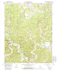
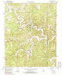
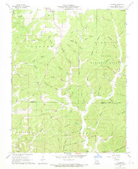
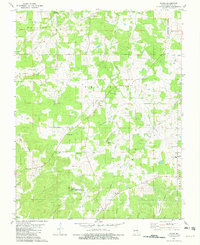
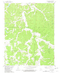
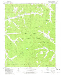
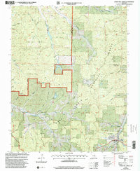
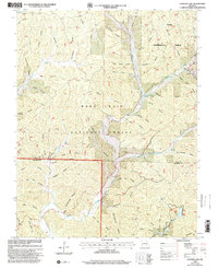
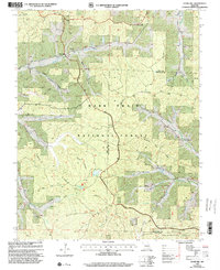
Editions of this 1967 Loggers Lake Map
3 editions found
Historical Maps of Gila Through Time
68 maps found
1941 Stone Hill
Dent County, MO
1945 Stone Hill
Dent County, MO
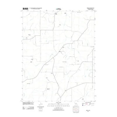
1951 Cedargrove
Dent County, MO
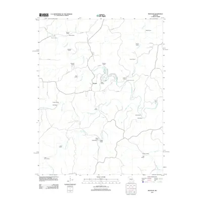
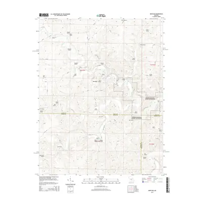
1951 Montauk
Dent County, MO
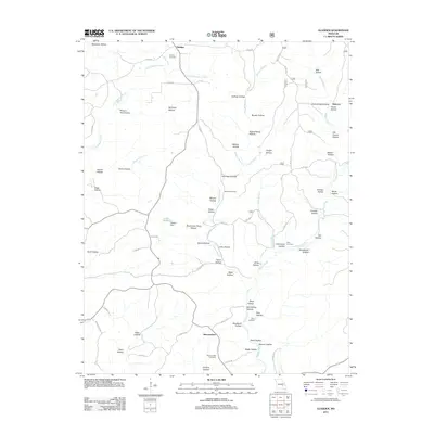
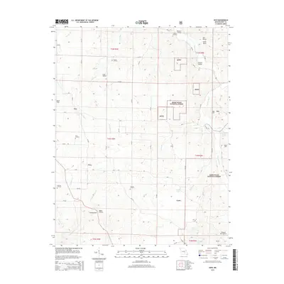
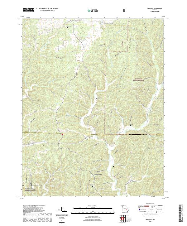
1967 Gladden
Dent County, MO
1967 Loggers Lake
Dent County, MO
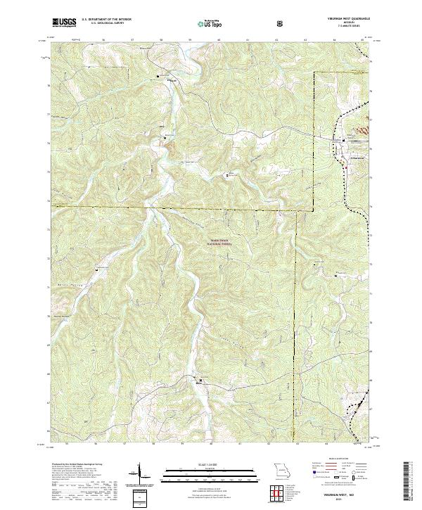
1967 Viburnum West
Dent County, MO
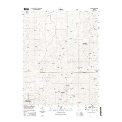
1981 Anutt
Dent County, MO
1981 Darien
Dent County, MO
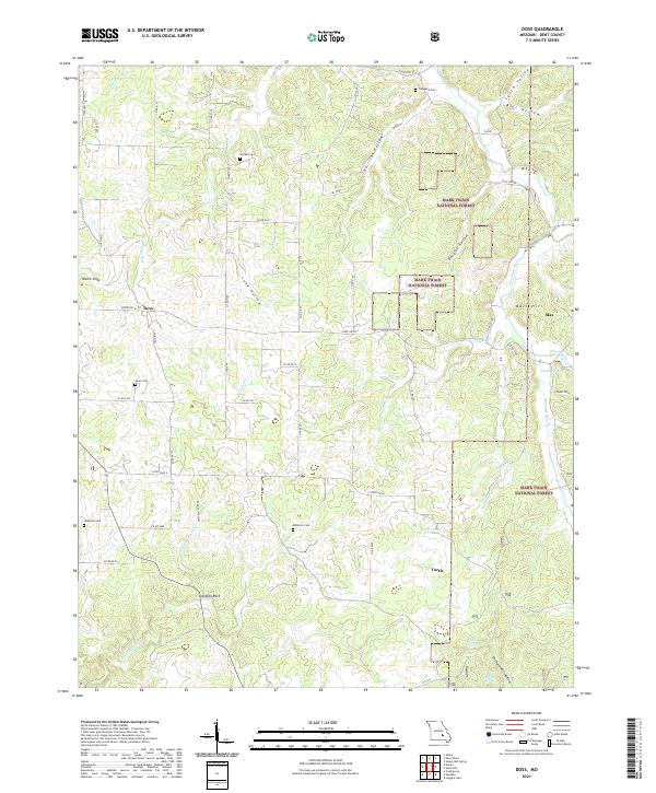
1981 Doss
Dent County, MO
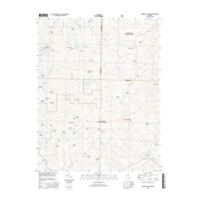
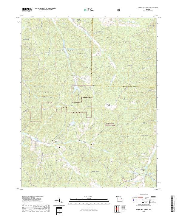
1981 Howes Mill Spring
Dent County, MO
1981 Rhyse
Dent County, MO
1981 Short Bend
Dent County, MO
1981 Stone Hill
Dent County, MO

1992 Anutt
Dent County, MO
1992 Rhyse
Dent County, MO
1999 Howes Mill Spring
Dent County, MO
1999 Loggers Lake
Dent County, MO
1999 Stone Hill
Dent County, MO
1999 Viburnum West
Dent County, MO
2011 Anutt
Dent County, MO
2011 Cedargrove
Dent County, MO
2011 Darien
Dent County, MO
2011 Doss
Dent County, MO
2011 Gladden
Dent County, MO
2011 Montauk
Dent County, MO
2011 Rhyse
Dent County, MO
2011 Short Bend
Dent County, MO
2011 Viburnum West
Dent County, MO
2012 Howes Mill Spring
Dent County, MO
2012 Loggers Lake
Dent County, MO
2012 Stone Hill
Dent County, MO
2015 Anutt
Dent County, MO
2015 Cedargrove
Dent County, MO
2015 Darien
Dent County, MO
2015 Doss
Dent County, MO
2015 Gladden
Dent County, MO
2015 Howes Mill Spring
Dent County, MO
2015 Loggers Lake
Dent County, MO
2015 Montauk
Dent County, MO
2015 Rhyse
Dent County, MO
2015 Short Bend
Dent County, MO
2015 Stone Hill
Dent County, MO
2015 Viburnum West
Dent County, MO
2017 Anutt
Dent County, MO
2017 Cedargrove
Dent County, MO
2017 Darien
Dent County, MO
2017 Doss
Dent County, MO
2017 Gladden
Dent County, MO
2017 Howes Mill Spring
Dent County, MO
2017 Loggers Lake
Dent County, MO
2017 Montauk
Dent County, MO
2017 Rhyse
Dent County, MO
2017 Short Bend
Dent County, MO
2017 Stone Hill
Dent County, MO
2017 Viburnum West
Dent County, MO
2021 Anutt
Dent County, MO
2021 Cedargrove
Dent County, MO
2021 Darien
Dent County, MO
2021 Doss
Dent County, MO
2021 Gladden
Dent County, MO
2021 Howes Mill Spring
Dent County, MO
2021 Loggers Lake
Dent County, MO
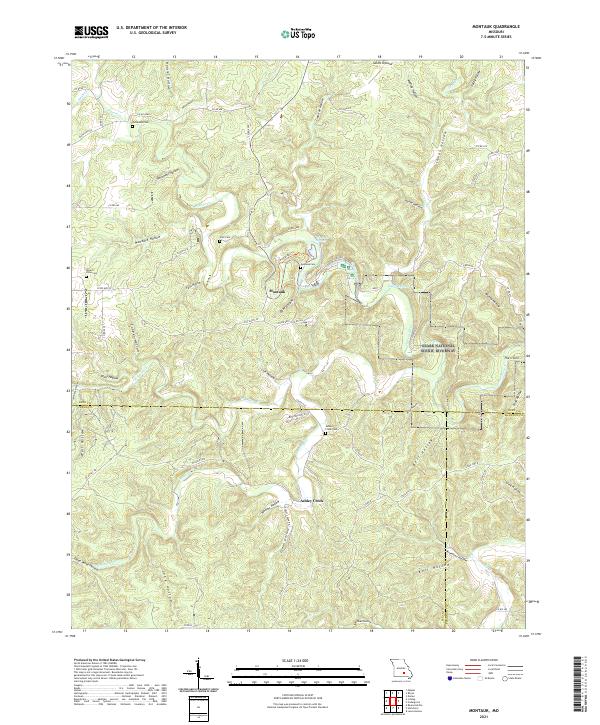
2021 Montauk
Dent County, MO
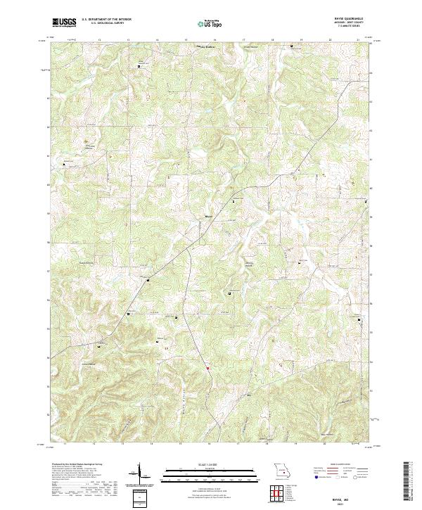
2021 Rhyse
Dent County, MO
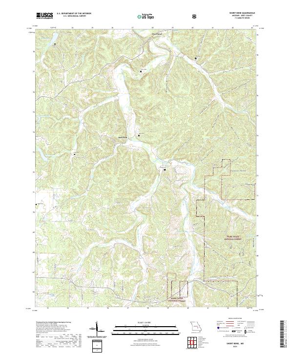
2021 Short Bend
Dent County, MO
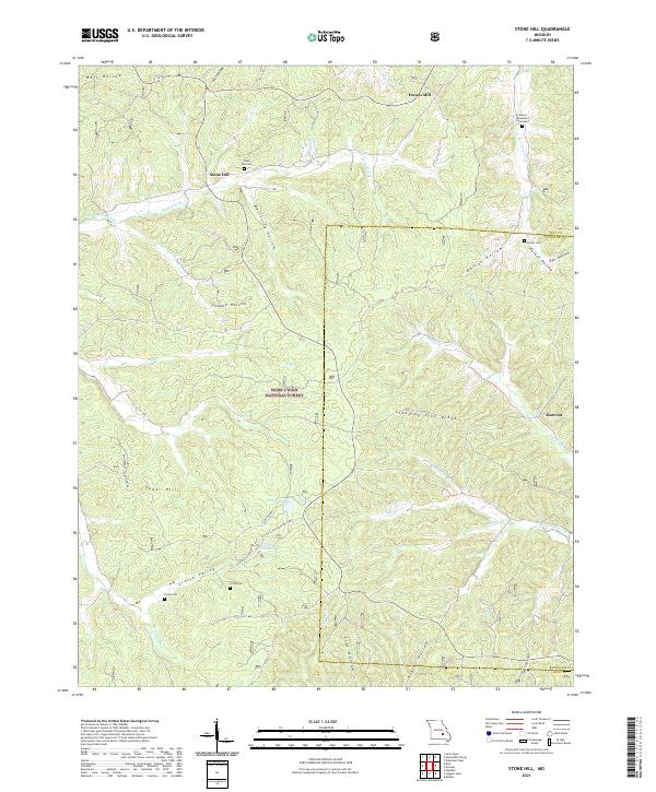
2021 Stone Hill
Dent County, MO
2021 Viburnum West
Dent County, MO