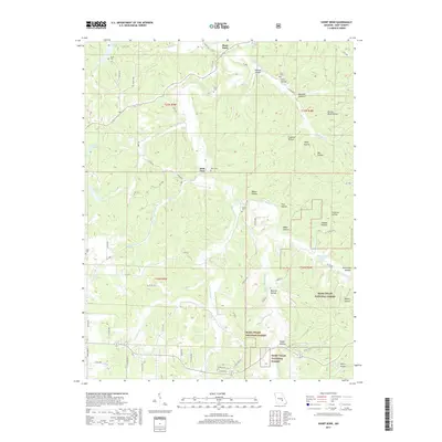
2017 Map of Short Bend
USGS Topo · Published 2017About this map
The Meramec River winds through a deeply dissected landscape in Dent County, creating the namesake meander at Short Bend. This 2017 survey illustrates the complex topography of the Ozark Plateau, where the river and its tributaries, such as Whitaker Cr and Dry Valley Cr, have carved numerous named hollows including Watson Hollow and Walker Hollow. Much of the southern and eastern portions of the quadrangle are protected within the Mark Twain National Forest. Local history is preserved in several family-named burial grounds dotting the hillsides, including Fraser Cem near Masters Lake and Maledy Cem further south. The settlement pattern remains largely rural, connected by a network of county roads like Co RD 4070 and State Hwy W that follow the ridgelines and valley floors near Dent Ford.
Find a feature on this map
77 named features on this map. Tap any name to fly to it.
Don’t see what you’re looking for? This feature index may not catch every label — zoom into the map to look around manually.
Map Details
Editions of this 2017 Short Bend Map
This is the sole edition of this map. No revisions or reprints were ever made.
Other maps of this area

1928 · Meramec Spring
USGS Topo · 1:62,500

1932 · Steelville
USGS Topo · 1:48,000

1933 · Steelville
USGS Topo · 1:62,500

1937 · Steelville
USGS Topo · 1:62,500

1941 · Salem
USGS Topo · 1:62,500

1941 · Stone Hill
USGS Topo · 1:62,500

1945 · Salem
USGS Topo · 1:62,500

1945 · Stone Hill
USGS Topo · 1:62,500

1949 · Rolla
USGS Topo · 1:250,000

1949 · Meramec Spring
USGS Topo · 1:62,500