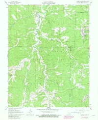
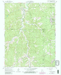
1967 Map of Viburnum West
USGS Topo · Published 1981About this map
Viburnum serves as a prominent industrial hub on this map, which documents the mining landscape of the Viburnum Trend during the 1960s and early 1980s. A massive Tailings Pond and the Burlington Northern railroad lines highlight the active lead-mining operations that defined this region of the Ozarks. In the surrounding hills of the Mark Twain National Forest, the map reveals a history of timber and smaller-scale industry through features like Charcoal Kilns and an Old Railroad Grade.
Find a feature on this map
35 named features on this map. Tap any name to fly to it.
Don’t see what you’re looking for? This feature index may not catch every label — zoom into the map to look around manually.
Map Details
Editions of this 1967 Viburnum West Map
5 editions found
Other maps of this area

1932 · Steelville
USGS Topo · 1:48,000

1933 · Steelville
USGS Topo · 1:62,500

1937 · Steelville
USGS Topo · 1:62,500

1941 · Stone Hill
USGS Topo · 1:62,500

1943 · Berryman
USGS Topo · 1:62,500

1943 · Boss
USGS Topo · 1:62,500

1945 · Stone Hill
USGS Topo · 1:62,500

1945 · Berryman
USGS Topo · 1:62,500

1946 · Boss
USGS Topo · 1:62,500

1949 · Rolla
USGS Topo · 1:250,000