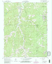
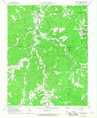
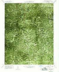
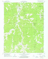
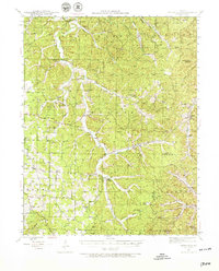
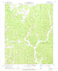
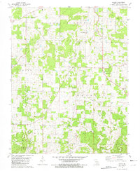
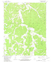
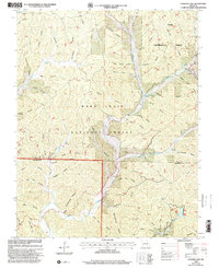
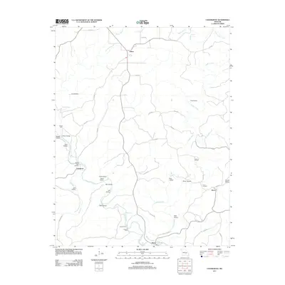
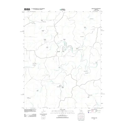
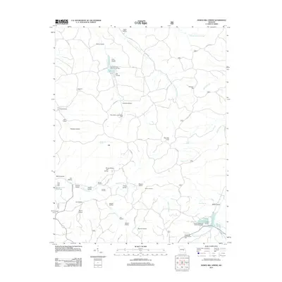
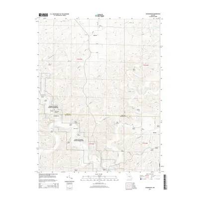
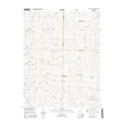
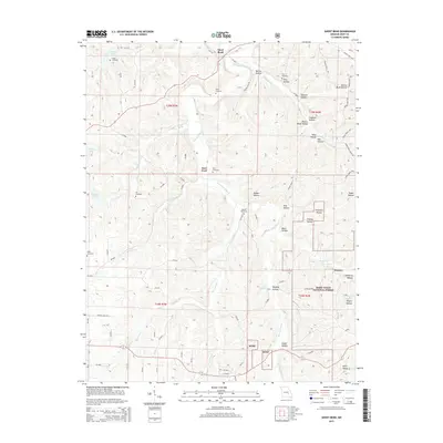
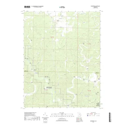
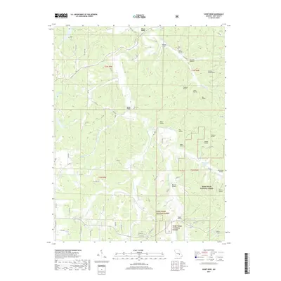
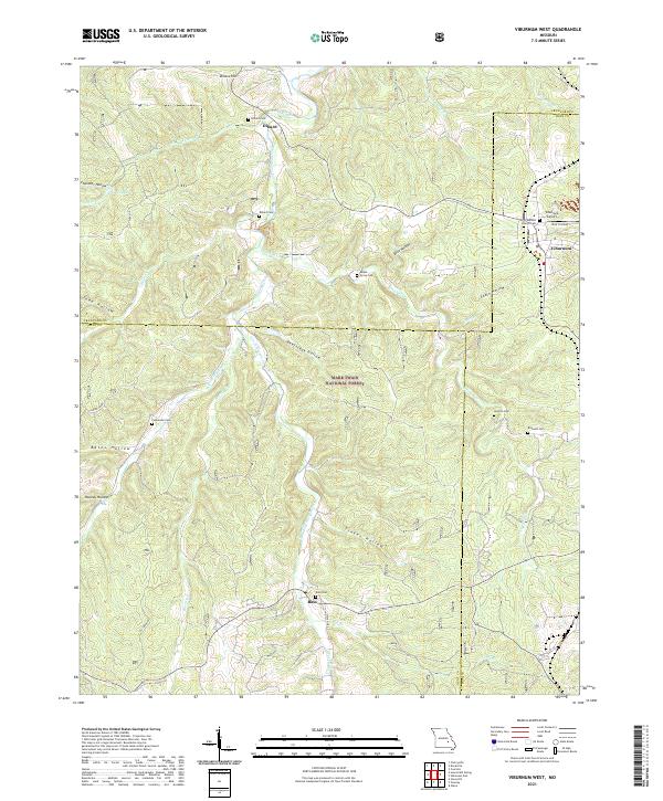
1967 Map of Viburnum West
USGS Topo · Published 1981About this map
Viburnum anchors the northeastern corner of this survey, serving as a hub for the local mining economy evidenced by nearby Tailings Ponds and a Burlington Northern rail spur. Much of the surrounding landscape is encompassed by the Mark Twain National Forest, where the terrain is deeply etched by the West Fork Huzzah Creek and East Fork Huzzah Creek.
Find a feature on this map
40 named features on this map. Tap any name to fly to it.
Don’t see what you’re looking for? This feature index may not catch every label — zoom into the map to look around manually.
Map Details
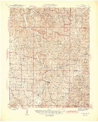
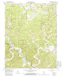
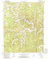
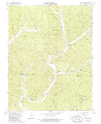
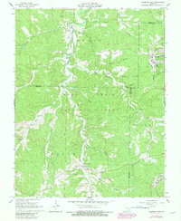
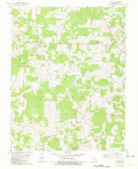
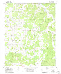
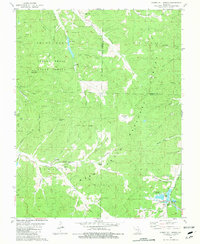
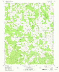
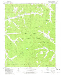
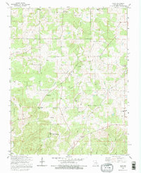
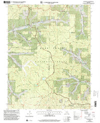
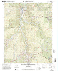
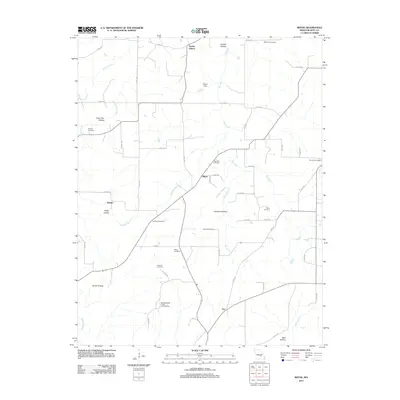
Editions of this 1967 Viburnum West Map
5 editions found
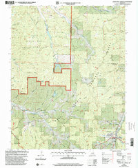
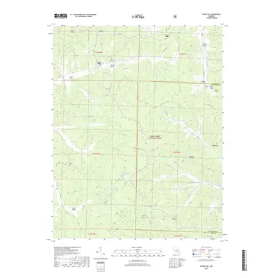
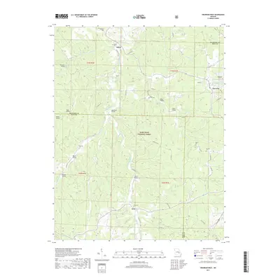
Historical Maps of Viburnum Through Time
68 maps found
1941 Stone Hill
Dent County, MO
1945 Stone Hill
Dent County, MO
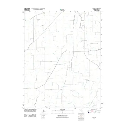
1951 Cedargrove
Dent County, MO
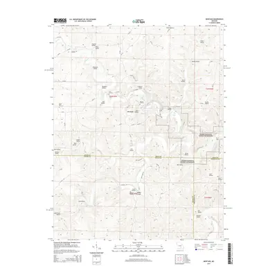
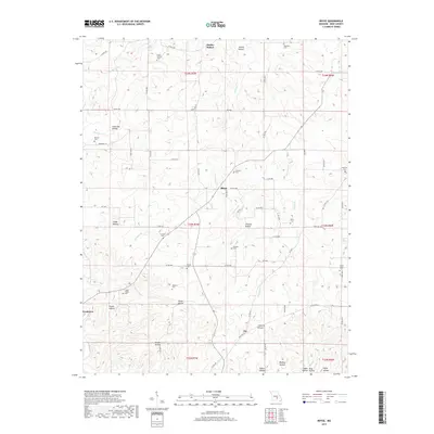
1951 Montauk
Dent County, MO
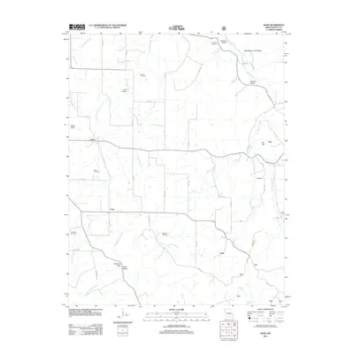
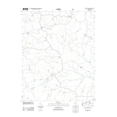
1967 Gladden
Dent County, MO
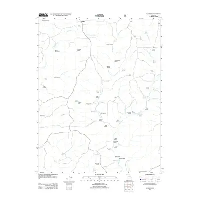
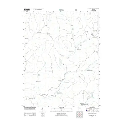
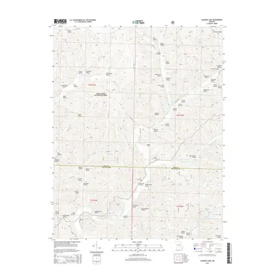
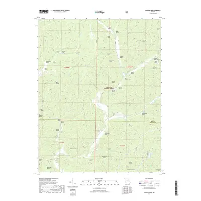
1967 Loggers Lake
Dent County, MO
1967 Viburnum West
Dent County, MO
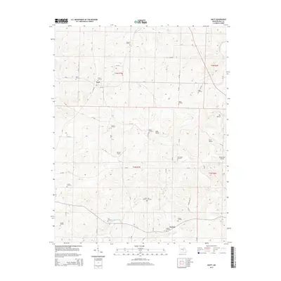
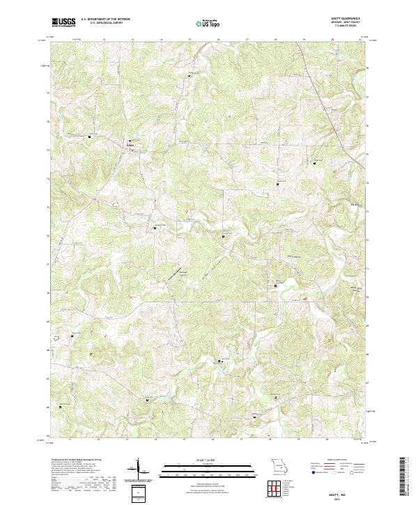
1981 Anutt
Dent County, MO
1981 Darien
Dent County, MO
1981 Doss
Dent County, MO
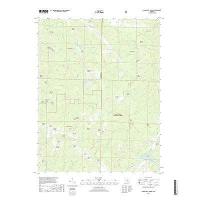
1981 Howes Mill Spring
Dent County, MO
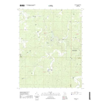
1981 Rhyse
Dent County, MO
1981 Short Bend
Dent County, MO
1981 Stone Hill
Dent County, MO

1992 Anutt
Dent County, MO
1992 Rhyse
Dent County, MO
1999 Howes Mill Spring
Dent County, MO
1999 Loggers Lake
Dent County, MO
1999 Stone Hill
Dent County, MO
1999 Viburnum West
Dent County, MO
2011 Anutt
Dent County, MO
2011 Cedargrove
Dent County, MO
2011 Darien
Dent County, MO
2011 Doss
Dent County, MO
2011 Gladden
Dent County, MO
2011 Montauk
Dent County, MO
2011 Rhyse
Dent County, MO
2011 Short Bend
Dent County, MO
2011 Viburnum West
Dent County, MO
2012 Howes Mill Spring
Dent County, MO
2012 Loggers Lake
Dent County, MO
2012 Stone Hill
Dent County, MO
2015 Anutt
Dent County, MO
2015 Cedargrove
Dent County, MO
2015 Darien
Dent County, MO
2015 Doss
Dent County, MO
2015 Gladden
Dent County, MO
2015 Howes Mill Spring
Dent County, MO
2015 Loggers Lake
Dent County, MO
2015 Montauk
Dent County, MO
2015 Rhyse
Dent County, MO
2015 Short Bend
Dent County, MO
2015 Stone Hill
Dent County, MO
2015 Viburnum West
Dent County, MO
2017 Anutt
Dent County, MO
2017 Cedargrove
Dent County, MO
2017 Darien
Dent County, MO
2017 Doss
Dent County, MO
2017 Gladden
Dent County, MO
2017 Howes Mill Spring
Dent County, MO
2017 Loggers Lake
Dent County, MO
2017 Montauk
Dent County, MO
2017 Rhyse
Dent County, MO
2017 Short Bend
Dent County, MO
2017 Stone Hill
Dent County, MO
2017 Viburnum West
Dent County, MO
2021 Anutt
Dent County, MO
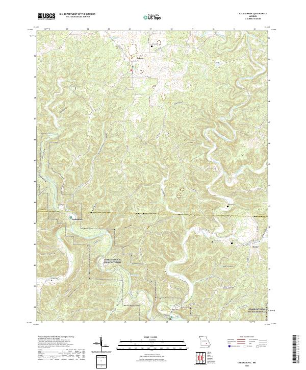
2021 Cedargrove
Dent County, MO
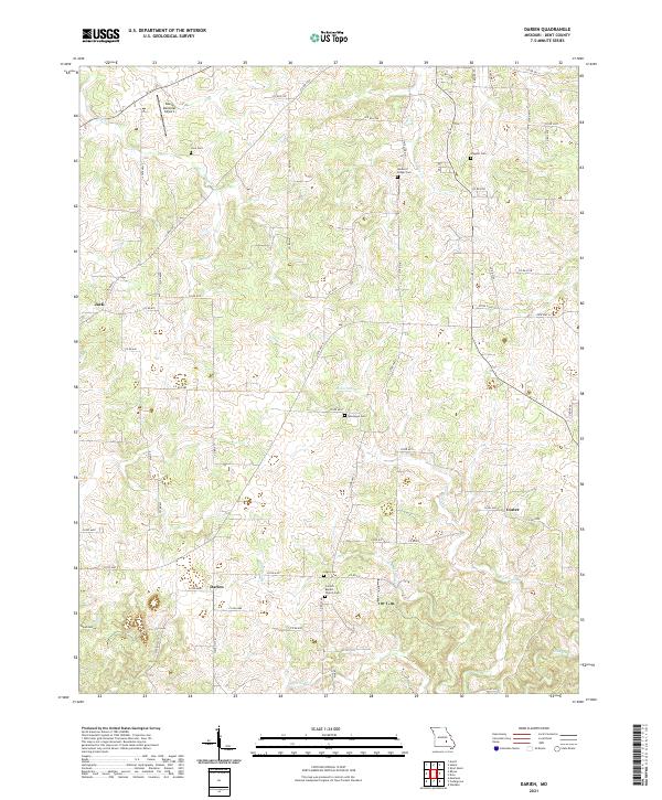
2021 Darien
Dent County, MO
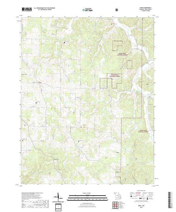
2021 Doss
Dent County, MO
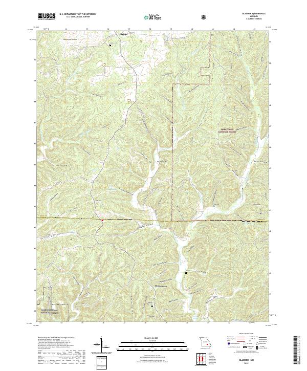
2021 Gladden
Dent County, MO
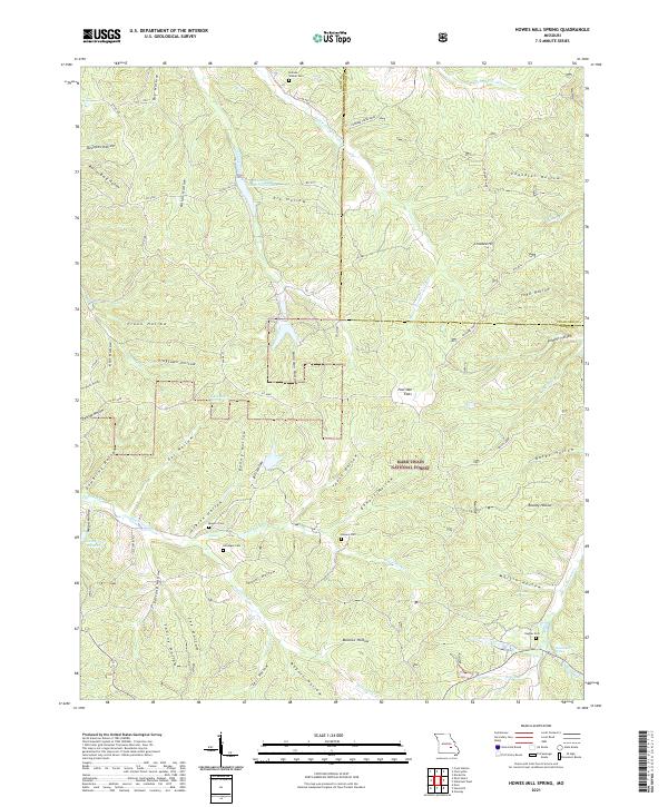
2021 Howes Mill Spring
Dent County, MO
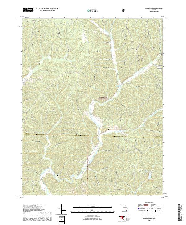
2021 Loggers Lake
Dent County, MO
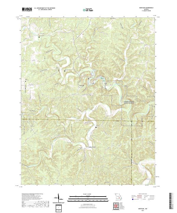
2021 Montauk
Dent County, MO
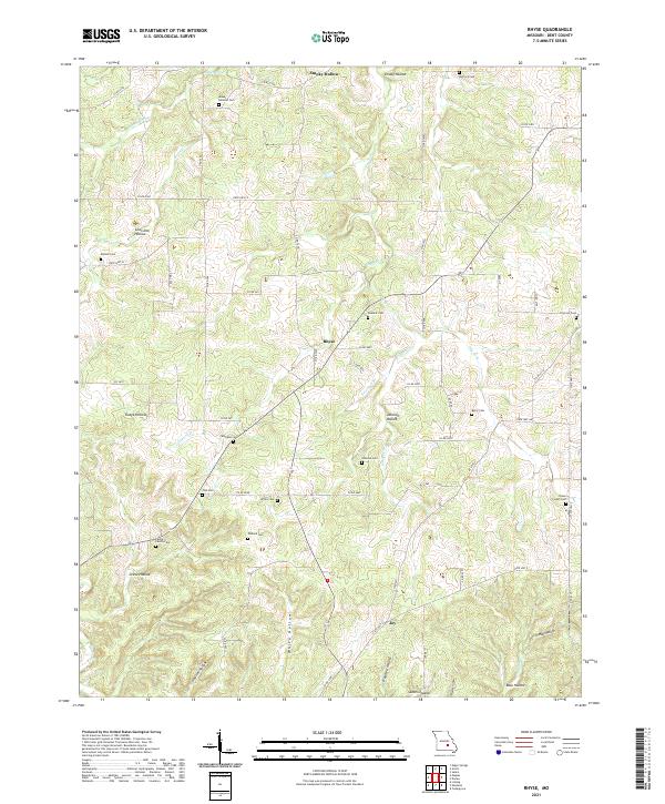
2021 Rhyse
Dent County, MO
2021 Short Bend
Dent County, MO
2021 Stone Hill
Dent County, MO
2021 Viburnum West
Dent County, MO